- Nassereith
-
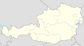
Nassereith Country Austria State Tyrol District Imst Mayor Reinhold Falbesoner (ÖVP) Area 72.4 km2 (28 sq mi) Elevation 843 m (2766 ft) Population 2,070 (1 January 2011)[1] - Density 29 /km² (74 /sq mi) Time zone CET/CEST (UTC+1/+2) Licence plate IM Postal code 6465 Area code 05265 Website www.nassereith.tirol.gv.at Coordinates: 47°19′00″N 10°50′00″E / 47.3166667°N 10.8333333°E
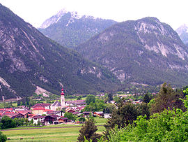
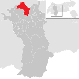
Nassereith is a municipality in the Imst district and is located 11 km north of Imst on the upper course of the Gurgl brook. The village was mentioned in documents for the first time in 1150 but settlement already began 200-300BC. Main sources of income is tourism but Nassereith is now community for commuters with 2084 inhabitants.
References
External links
Arzl im Pitztal · Haiming · Imst · Imsterberg · Jerzens · Karres · Karrösten · Längenfeld · Mieming · Mils bei Imst · Mötz · Nassereith · Obsteig · Oetz · Rietz · Roppen · Sankt Leonhard im Pitztal · Sautens · Silz · Sölden · Stams · Tarrenz · Umhausen · Wenns
Categories:- Cities and towns in Tyrol
- Lechtal Alps
- Tyrol geography stubs
Wikimedia Foundation. 2010.


