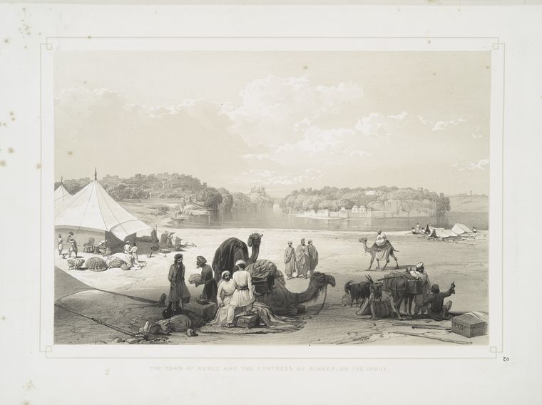
- Rohri
Infobox Settlement
name = Rohri
settlement_type = Tehsil
image_caption = A historic image ofRohri -Sukkur
image_
map_caption =
subdivision_type = Country
subdivision_name =Pakistan
subdivision_type1 = Province
subdivision_name1 =Sindh
subdivision_type2 = District
subdivision_name2 = Sukkur
parts_type = Union Councils
parts_style = para
parts = 11
government_footnotes =
government_type = Town Council
leader_title = Tehsil Nazim
leader_name =
leader_title1 = Naib Nazim
leader_name1 =
area_magnitude = 1 E+6
area_footnotes = cite web| url=http://www.sukkur.gov.pk/SukkurHistory.html| title=Sukkur's History| publisher=Sukkur District Government| accessdate=2007-11-28]
area_total_km2 = 1319
area_total_sq_mi = 509
elevation_footnotes =
elevation_m = 62
elevation_ft = 203
population_as_of = 2002
population_footnotes =
population_note =
population_total = 224362
population_density_km2 = auto
population_density_sq_mi = auto
timezone = PST
utc_offset = +5
timezone_DST =
latd=28 |latm=8 |lats=00 |latNS=N
longd=69 |longm=29 |longs=00 |longEW=E
postal_code_type =
postal_code =
area_code =
website = [http://www.sukkur.gov.pk/ Sukkur District Website]
footnotes =Rohri (Sindhi:روهڙي ,
Urdu :روہڑی ) is a town ofSukkur District ,Sindh province,Pakistan . It is located at 27°40'60N 68°54'0E [ [http://www.fallingrain.com/world/PK/5/Rohri.html Location of Rohri - Falling Rain Genomics] ] , on the east bank of theIndus River . Rohri town is the administrative headquarters ofRohri Taluka , atehsil of Sukkur district [ [http://www.lgdsindh.com.pk/tmarohri6.htm Taluka Municipal Administration Rorhi] ] with which it forms a metropolitan area.ee also
*
Sukkur
*Sukkur District
*Tehsil References
External links
* [http://www.rohri.net Rohri.net]
Wikimedia Foundation. 2010.
