- Atlin Provincial Park and Recreation Area
Infobox_protected_area | name = Atlin Provincial Park and Recreation Area
iucn_category =
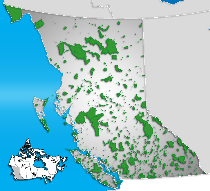
caption = Location of "Atlin Provincial Park" inBritish Columbia
locator_x = 51
locator_y = 30
location =British Columbia ,Canada
nearest_city = Atlin, Whitehorse
lat_degrees = 59
lat_minutes = 31
lat_seconds = 21
lat_direction = N
long_degrees = 133
long_minutes = 45
long_seconds = 35
long_direction = W
area = 3,011.40 km²
established = 1973
visitation_num =
visitation_year =
governing_body = BC ParksAtlin Provincial Park and Recreation Area is a
provincial park inBritish Columbia ,Canada .History
Atlin is a corruption of "Áa Tlein", the
Tlingit word for "big body of water". The area has been used by theTaku River Tlingit for many years. There are several archeological sites and cultural sites within the park.It was gold that gave Atlin its reason for existence. The gold rush came to Atlin Lake country in 1898 and was one of the richest offshoots of the
Klondike Gold Rush . By the end of the mining season of 1899 about 5000 people flocked to the region, and Atlin was a busy and important town. Although creeks in the present day park must have been prospected, none bore any gold. Although production was greatest in the early years, the Atlin field still produces today. Totalplacer gold production has exceeded $23 million.The park was created in
1973 .Conservation
Approximately one third of the park's area is occupied by
glacier s. TheLlewellyn Glacier , considered the source of theYukon River , is the most prominent.The parks aims to protect habitat for grizzly and black bear,
mountain goat , caribou,moose , Stone sheep, and various wolf populations. There are many small mammals such ashoary marmot s,Arctic ground squirrel s,pika s,beaver s andotter s. Birds also inhabit the park area, such as the arctic tern, blue-grouse, ruffed-grouse and the rock, willow and white-tailedptarmigan .Location and Size
Located 20
kilometre s south ofAtlin, British Columbia , surroundingAtlin Lake . Visitors cannot access the park by vehicle, but by boat or aircraft only. The park is 301,140hectare s (1,163 square miles) in size.ee also
*
List of British Columbia Provincial Parks
*List of Canadian provincial parks External links
* [http://www.env.gov.bc.ca/bcparks/explore/parkpgs/atlin.html Atlin Provincial Park and Recreation Area]
*BCGNIS|40236
Wikimedia Foundation. 2010.