- Korkuteli
Infobox Settlement
settlement_type = District
subdivision_type = Country
subdivision_name = TUR
timezone=EET
utc_offset=+2
map_caption =Location of PAGENAME within Turkey.
timezone_DST=EEST
utc_offset_DST=+3official_name = Korkuteli
image_caption =
image_blank_emblem =
blank_emblem_type =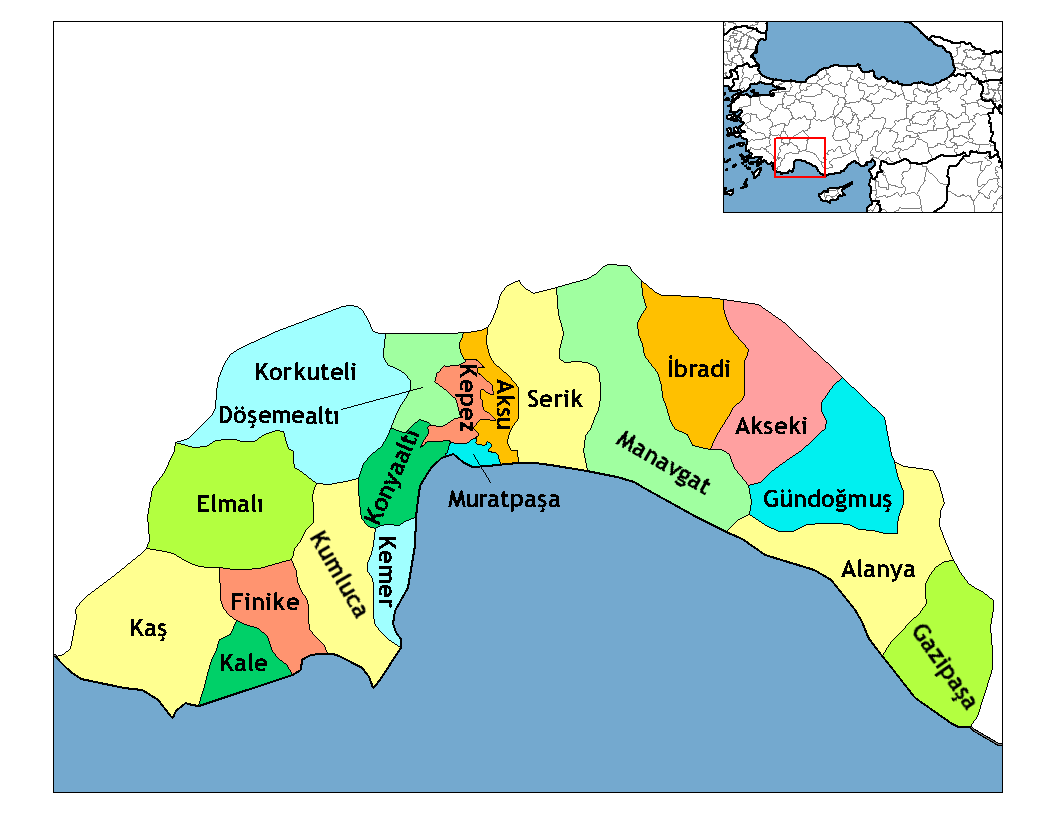
subdivision_type1=Region
subdivision_name1 = Mediterranean
subdivision_type2=Province
subdivision_name2 = Antalya| population_total = 48159|population_footnotes=
population_as_of =| 2007
population_footnotes =
area_total_km2 = 2271|elevation_m = 1020|latd = 37
latm = 04
latNS = N
longd = 30
longm = 12
longEW = E
area_code = (0090)+ 242+
leader_name =
website =Korkuteli is a district of
Antalya Province in theMediterranean region ofTurkey , convert|56|km|mi|0|abbr=on north-west of the city ofAntalya .Etymology
The town was the
Pisidia nIsinda , then theAncient Roman Istanoz , then later named Korkuteli after Korkut, prince of theOttoman Empire , who was murdered by his brotherSelim I while trying to hide in a cave in the district.Geography
Korkuteli is an area of small plains and hills in the Bey Dağları, the western range of the
Taurus Mountains , overlooking the Mediterranean sea. There are two distinct geographical areas of Korkuteli, of equal size: the lowland area nearer the coast has a hot Mediterranean climate, while the larger area of lakes higher up is cooler and less humid. The high country is covered with pine forest, while the lowland is used for agriculture; crops include grains, pulses and vegetable oil-seeds. There are trout in Korkuteli reservoir and other small lakes.Until recently economic activity in this district was basically herding sheep and goats on the hillsides, but since the 1960s investment in irrigation and machinery has generated a thriving fruit-growing industry, including many roadside stalls selling fruit to travellers en route to the Mediterranean coast. This is turn has led to better buildings and infrastructure in the town of Korkuteli and the villages in the district. There is no industry or large-scale trading. Korkuteli is a small town of 15,000 people providing high schools and other basic infrastructure to the district.
The countryside is attractive and Antalya's middle-classes are building holiday homes in Korkuteli, a place to escape the summer heat on the coast. The local delicacy is 'burnt ice-cream', made of goats-milk.
History
In antiquity this area was known as
Isinda and was part ofPisidia , and coinage was made here. Like nearbyTermessos , Isinda was a remote mountain stronghold, the people worshippedZeus himself and even managed to resist the siege ofAlexander the Great .Pisidia later became a province of the
Roman Empire , and subsequently theEastern Roman Empire of theByzantines . Roman/Byzantine buildings in Korkuteli include the priest's house ("Keşiş evi") and Latin inscription in the walls of the building that later became the "Hamidoglu Medrese".The area was taken from the Byzantines by the
Seljuk Turks ofGıyaseddin Keyhüsrev I in 1207, and was used as a summer residence by the local Seljuk rulers. Seljuk architecture in Korkuteli includes the mosque of Sultan Alaadin and some Turkish baths and tombs.Upon the decline of the Seljuks in the early 14th century the area became a stronghold of the
Beylik of Teke and then theHamidoglu clan of nearbyIsparta . Finally the district was brought within theOttoman Empire byBayezid I in 1392.Demographics
The district has a population of 48.159 according to the 2007 census. [ [http://www.tuik.gov.tr Türkiye İstatistik Kurumu] ] The town itself has 18.971 inhabitants. Korkuteli has 6 municipalities(Bozova, Büyükköy, Çomaklı, Küçükköy, Yelten and Yeşilyayla) and 47 villages.
The population of inhabited places are shown in the table(Municipalities are shown in bold)
References
External links
* [http://www.antalya.gov.tr the Antalya governorate - source for much of the information in this article]
The KOLANCI family
The ÇOBAN family
Wikimedia Foundation. 2010.