- Gürpınar (District), Van
Infobox Settlement
settlement_type = District
subdivision_type = Country
subdivision_name = TUR
timezone=EET
utc_offset=+2
map_caption =Location of PAGENAME within Turkey.
timezone_DST=EEST
utc_offset_DST=+3official_name = Gürpınar
image_caption =
image_blank_emblem =
blank_emblem_type =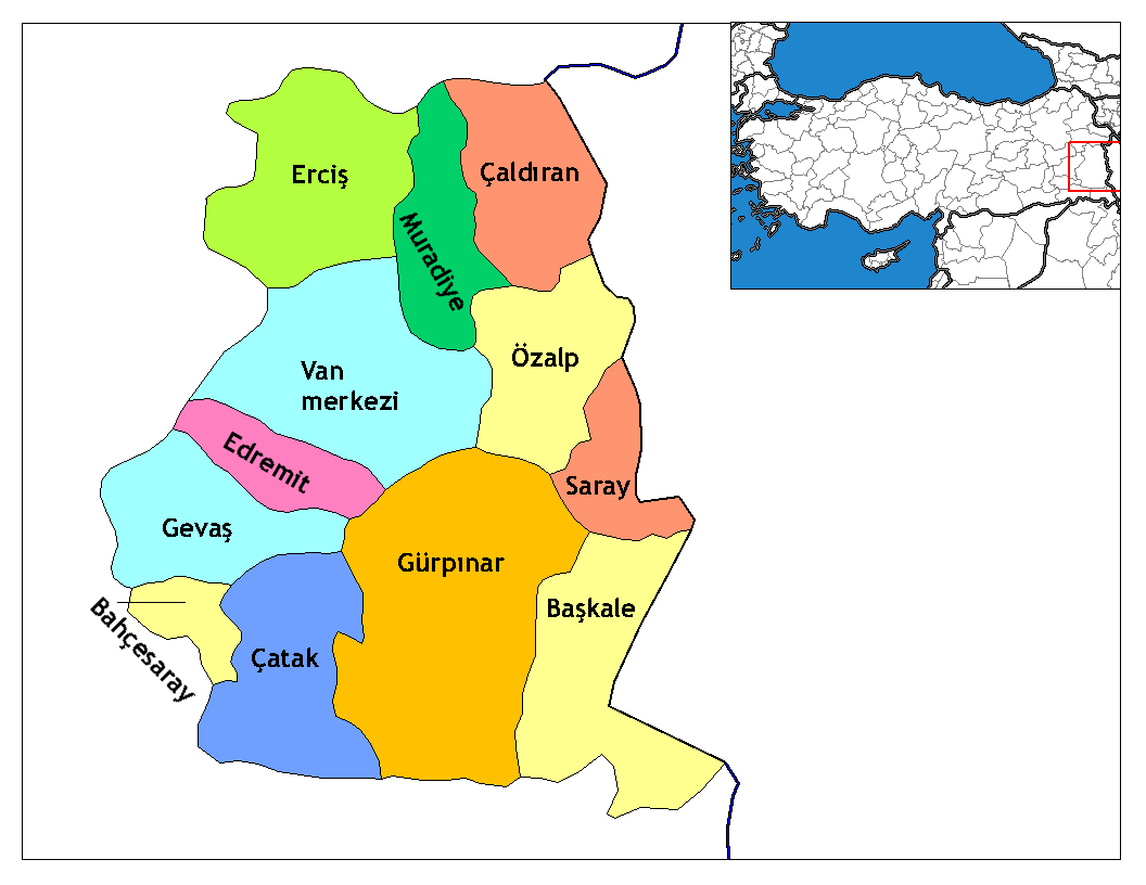
subdivision_type1=Region
subdivision_name1 = East Anatolia
subdivision_type2=Province
subdivision_name2 = Van| population_total =
population_as_of = 2000
population_footnotes = http://www.baskale.gov.tr
population_density_km2 =
area_total_km2 = 4700|elevation_m =
postal_code_type=Postal code
postal_code = 34x xx
blank_info = 65|blank_name=Licence plate
area_code = (0090)+ 212
leader_title=Mayor
leader_name = Fuat Yasar ATAN
website = [http://www.van-gurpinar.bel.tr www.www.van-gurpinar.bel.tr]
leader_name1 =
gwebsite = [http://www.gurpinar.gov.tr www.gurpinar.gov.tr]Gürpınar is a district of
Van Province and convert|20|km|mi|0|abbr=on south of Van. Its old name and Armenian name is "Have-tzor" or "Hayots-tzor". The Kurdish name is "Payizava". Gurpinar's total area is 4700 km2 and is the largest area of the districts of Turkey. It has 72 villages and many historical areas.Historical places
*
Hoşap Castle
*Cavustepe (Haikapert) Urartian Castle,
*Surp Marinos Monastery,
*Zernek Castle,
*Dar Mariam Church,
*Put Cave and Cave pics,
*Tirishim plateau, rock pictures park,
*Menua Water Network(www.suatatan.com)External links
*" [http://www.gurpinar.gov.tr/ www.gurpinar.gov.tr Gurpinar Government - Gurpinar ] "
*" [http://www.van-gurpinar.bel.tr/ www.van-gurpinar.bel.tr Gurpinar Municipality- Gurpinar ] "
Wikimedia Foundation. 2010.