- Eşme
Infobox Settlement
settlement_type = Town
subdivision_type = Country
subdivision_name = TUR
timezone=EET
utc_offset=+2
map_caption =Location of Eşme within Turkey.
timezone_DST=EEST
utc_offset_DST=+3official_name = Eşme
image_caption =
image_blank_emblem =
blank_emblem_type =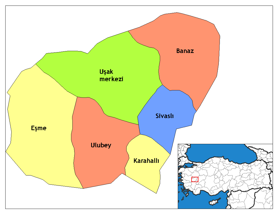
subdivision_type1=Region
subdivision_name1 = Aegean
subdivision_type2=Province
subdivision_name2 = Uşak| population_total =
population_footnotes=
urban population| = 13,700
population_as_of = 2000
population_footnotes =
population_density_km2 =
area_total_km2 =
elevation_m =
pushpin_
pushpin_label_position =
pushpin_map_caption =Location of Eşme
pushpin_mapsize =
latd = 38
latm = 24
latNS = N
longd = 28
longm = 58
longEW = E
postal_code_type=Postal code
postal_code = 64x xx
blank_info = 64|blank_name=Licence plate
area_code =
leader_name =
website = [http://www.esme.bel.tr www.esme.bel.tr]
leader_name1 =
gwebsite = [http://www.esme.gov.tr www.esme.gov.tr]Eşme is a town and a district of
Uşak Province ofTurkey .The principal economic sctivities include tobacco farming, stockbreeding,
kilim weaving and trading. Apart from the central town of Eşme, the district counts three townships with own municipality, nameky Yeleğen, Ahmetler and Güllü.References

Wikimedia Foundation. 2010.