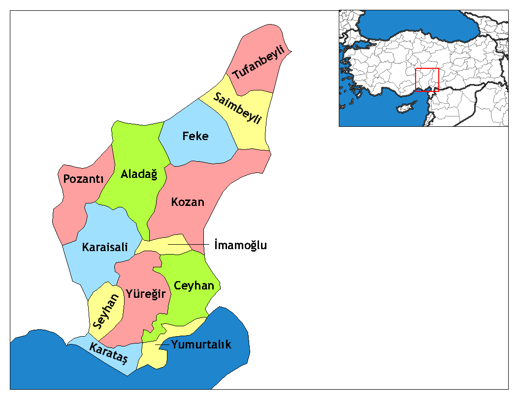
- Aladağ
Infobox Settlement
settlement_type = District
subdivision_type = Country
subdivision_name = TUR
timezone=EET
utc_offset=+2
map_caption =Location of PAGENAME within Turkey.
timezone_DST=EEST
utc_offset_DST=+3
subdivision_type1=Region
subdivision_name1 = Mediterranean
subdivision_type2=Province
subdivision_name2 = Adana| population_total =
population_as_of =
population_footnotes =
population_density_km2 =
area_total_km2 =
elevation_m = 850|latd = 37
latm = 32
latNS = N
longd = 35
longm = 23
longEW = E
postal_code_type=Postal code
postal_code = 01xx
area_code = 0322
blank_info = 01|blank_name=Licence plate
leader_name =
website =Named "Karsanti" until recently, Aladağ is a district of
Adana Province ofTurkey about 100km north of the city ofAdana , up in the mountains. This is an undeveloped area, the people live from agriculture and forestry. People from theÇukurova retreat up here in the summer to escape the heat on the plain, although it's too high up for a day trip.The
Aladağlar mountains are an eastern extension of the Toros. These high mountains are a popular area for climbing, usually accessed from the north through the town ofNiğde . The town of Aladağ sits on their southern side, accessed by road up from Adana. There is no pass through the mountains.
Wikimedia Foundation. 2010.

