- Hino, Tokyo
Japanese city
Name=Hino
JapaneseName=日野市
Prefecture=Tokyo
Region=Kantō
Area_km2=27.53
Population=171,309
PopDate=2003
Density_km2=6222
Coords=
LatitudeDegrees= 35
LatitudeMinutes= 40
LatitudeSeconds=
LongtitudeDegrees= 139
LongtitudeMinutes= 24
LongtitudeSeconds=
Postal code=
Area code=
Mayor=Baba Hiromichi
Tree=
Flower=
Bird=
Symbol !border| SymbolDescription= Flag
CityHallPostalCode =
CityHallAddress=
CityHallPhone=
CityHallLink = [http://www.city.hino.lg.jp/ Hino] | City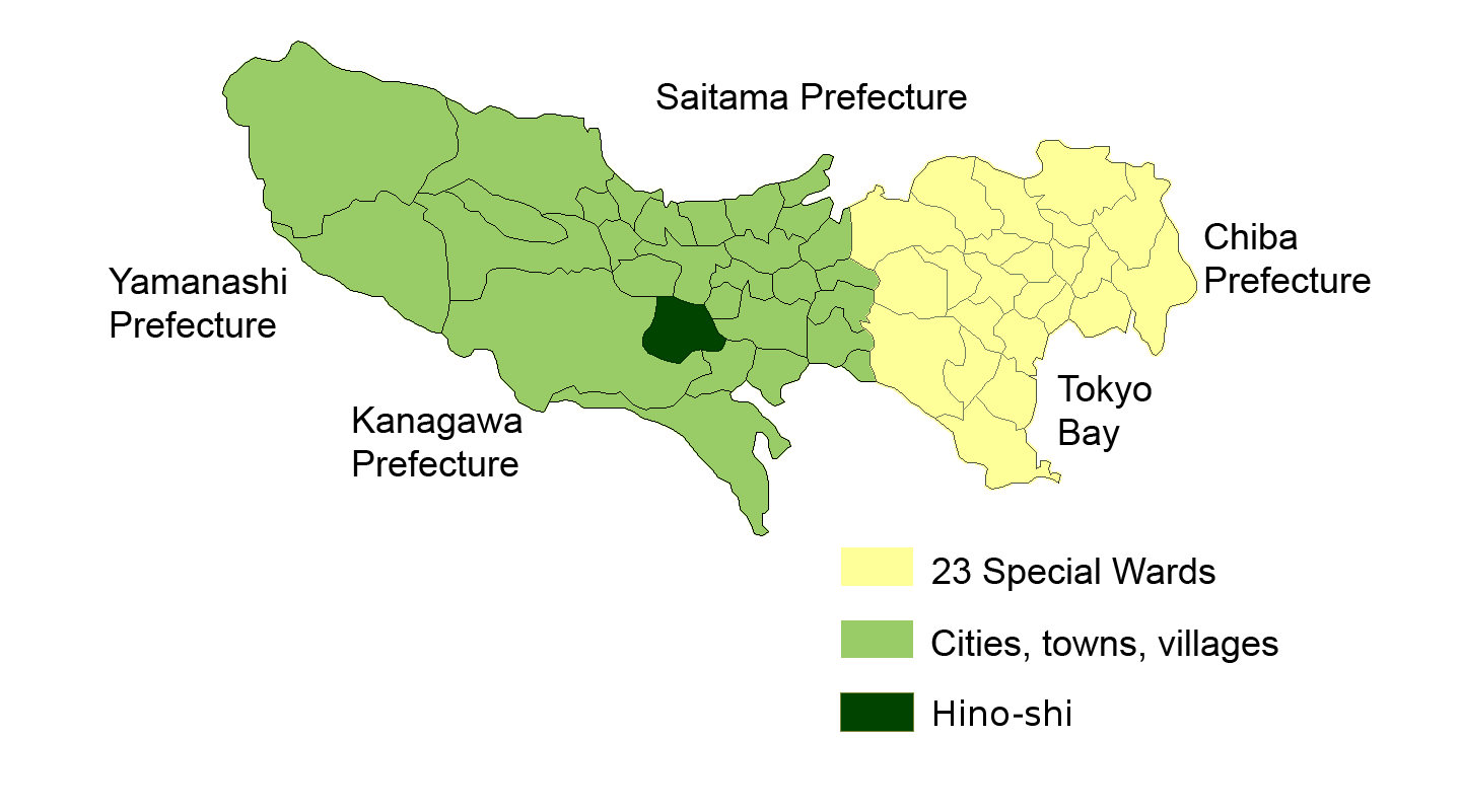
Elevation=
nihongo|Hino|日野市|Hino-shi is a city located inTokyo ,Japan .As of 2003, the city has an estimated
population of 171,309 and the density of 6,222.63 persons per km². The total area is 27.53 km².The city was founded on
November 3 ,1963 .Hino is the home of Tama Zoo (多摩動物公園: Tama Dōbutsu Kōen), operated by the government of Tokyo. Also in Hino is Takahata Fudo, a prominent Buddhist
temple .History
Hino was first settled in 1605 as a small village along the
Kaidō road.Politics and government
Hino is governed by the mayor
Baba Hiromichi , an independent supported by all parties except theJapanese Communist Party . The city assembly has 26 elected members.Elections
*
Hino mayoral election, 2005 Industry
There are the headquarters of
Hino Motors , aToyota Group company producing articulated lorries andbus es.Transportation
Hino is crossed by the
Chūō Main Line and theKeiō Line . There is alsoTama Toshi Monorail Line which goes north-south.Education
Hino operates public elementary and junior high schools.
Tokyo Metropolitan Government Board of Education operates public high schools.
*Hino High School [http://www.hino-h.metro.tokyo.jp/]
*Hinodai High School [http://www.hinodai-h.metro.tokyo.jp/]
*Minamidaira High School [http://www.minamidaira-h.metro.tokyo.jp/]Famous People
*
Hijikata Toshizō , military leader in the late Edo periodSee also
References
External links
* [http://www.city.hino.lg.jp/ Hino official website] in Japanese
Wikimedia Foundation. 2010.