- Criccieth railway station
-
Criccieth 
Cricieth 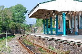
Location Place Criccieth Local authority Gwynedd Coordinates 52°55′05″N 4°14′17″W / 52.918°N 4.238°WCoordinates: 52°55′05″N 4°14′17″W / 52.918°N 4.238°W Operations Station code CCC Managed by Arriva Trains Wales Number of platforms 1 Live arrivals/departures and station information
from National Rail EnquiriesAnnual rail passenger usage 2004/05 * 13,049 2005/06 * 12,518 
2006/07 * 16,546 
2007/08 * 25,334 2008/09 * 18,782 History Original company Aberystwyth and Welsh Coast Railway Pre-grouping Cambrian Railways Post-grouping Great Western Railway National Rail - UK railway stations A B C D E F G H I J K L M N O P Q R S T U V W X Y Z * Annual passenger usage based on sales of tickets in stated financial year(s) which end or originate at Criccieth from Office of Rail Regulation statistics. Please note: methodology may vary year on year. Criccieth railway station serves the seaside town of Criccieth on the Llŷn Peninsula in Gwynedd, Wales. This railway station is on the Cambrian Coast Railway with passenger services to Pwllheli, Harlech, Barmouth, Machynlleth and Shrewsbury. Until the line between Bangor and Afonwen was closed during the 1960s there was a through service in the summer to and from London Euston via Crewe, Chester, Llandudno Junction and Caernarvon; the Pwllheli portion was detached at Afonwen and the forward coaches proceeded to Portmadoc (the spellings are those used at the time). There was also a summer service between London Paddington and Pwllheli, via Birmingham Snow Hill, Shrewsbury and Machynlleth.
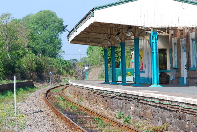
Formerly a two platform station with a passing loop, the station is now a single platform, unstaffed halt. The main station building is in private use.
Preceding station  National Rail
Following station Arriva Trains Wales Historical railways Black Rock Halt
Line open; station closedAberystwyth and Welsh Coast Railway
Afon Wen
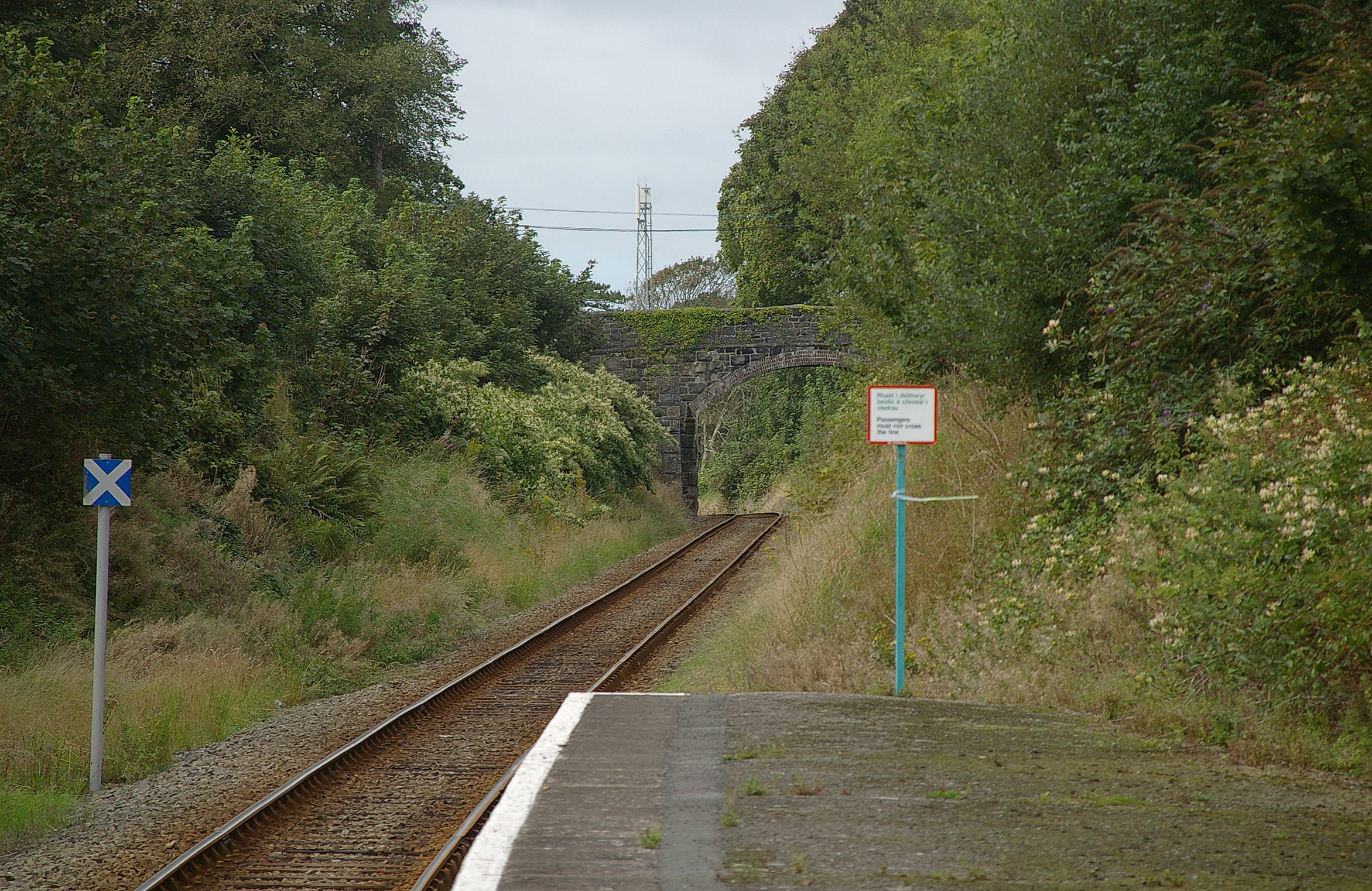
Line open; station closed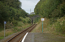 Looking west from Criccieth station
Sources
- Butt, R. V. J. (1995). The Directory of Railway Stations: details every public and private passenger station, halt, platform and stopping place, past and present (1st ed.). Sparkford: Patrick Stephens Ltd. ISBN 1-8526-0508-1. OCLC 60251199.
- Jowett, Alan (March 1989). Jowett's Railway Atlas of Great Britain and Ireland: From Pre-Grouping to the Present Day (1st ed.). Sparkford: Patrick Stephens Ltd. ISBN 1-8526-0086-1. OCLC 22311137.
Categories:- Railway stations in Gwynedd
- Former Cambrian Railway stations
- Railway stations opened in 1867
- Railway stations served by Arriva Trains Wales
- DfT Category F2 stations
- Wales railway station stubs
Wikimedia Foundation. 2010.