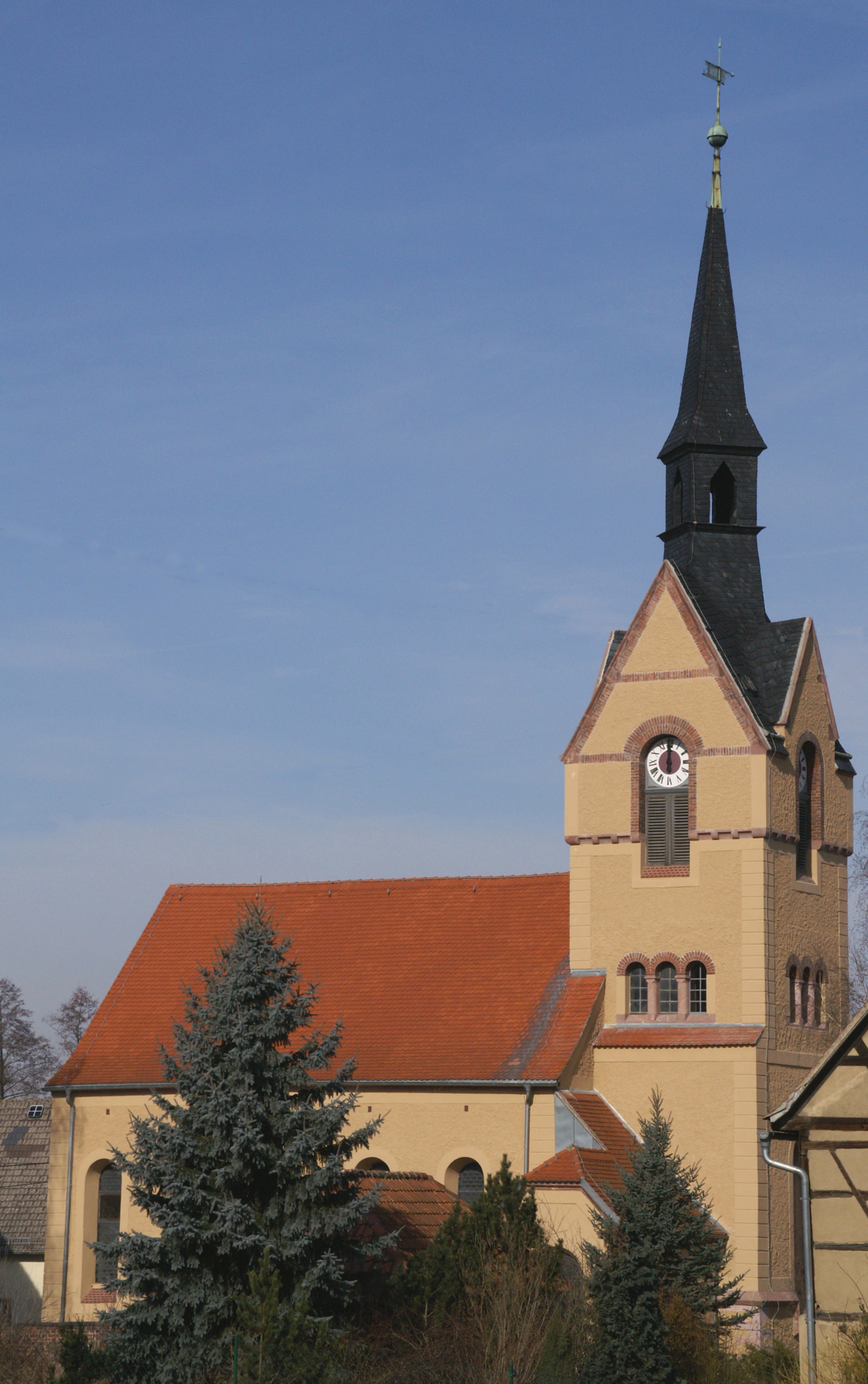
- Nöbdenitz
-
Nöbdenitz 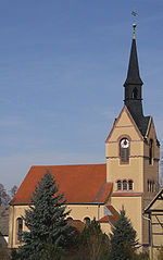

 NöbdenitzLocation of Nöbdenitz within Altenburger Land district
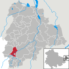
Coordinates 50°52′38″N 12°17′6″E / 50.87722°N 12.285°ECoordinates: 50°52′38″N 12°17′6″E / 50.87722°N 12.285°E Administration Country Germany State Thuringia District Altenburger Land Municipal assoc. Oberes Sprottental Local subdivisions 5 Mayor Günter Heydenreich Basic statistics Area 10.01 km2 (3.86 sq mi) Elevation 229 m (751 ft) Population 935 (31 December 2010)[1] - Density 93 /km2 (242 /sq mi) Other information Time zone CET/CEST (UTC+1/+2) Licence plate ABG Postal code 04626 Area code 034496 Website www.noebdenitz.de Nöbdenitz is a German municipality in the Thuringian district of Altenburger Land.
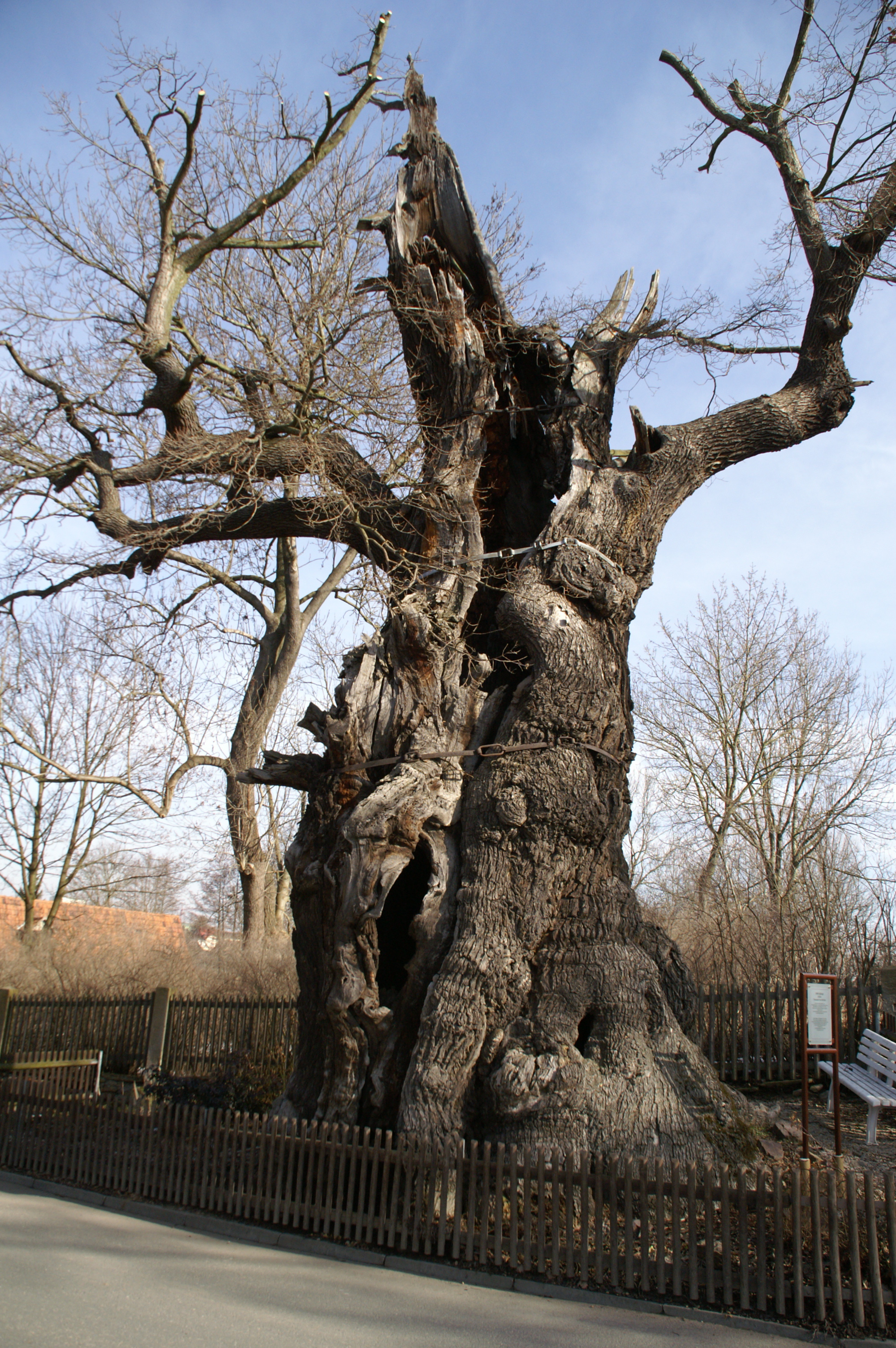
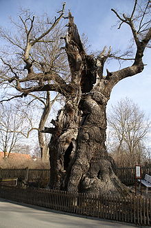 1000-year-old oak
Contents
Geography
Neighboring municipalities
Municipalities near Nöbdenitz are Drogen, Löbichau, Posterstein, the City of Schmölln, Vollmershain, and Wildenbörten.
Municipal arrangement
The municipality of Nöbdenitz consists of 5 subdivisions: Nöbdenitz, Burkersdorf (in Schmölln), Lohma, Untschen, and Zagkwitz.
Business and transportation
Nöbdenitz has a train station on the line that goes from Gera to Gößnitz as well as to Altenburg.
References
- ^ "Bevölkerung nach Gemeinden, erfüllenden Gemeinden und Verwaltungsgemeinschaften" (in German). Thüringer Landesamt für Statistik. 31 December 2010. http://www.statistik.thueringen.de/datenbank/TabAnzeige.asp?tabelle=gg000102%7C%7C.
- This article incorporates information from the German Wikipedia.
Altenburg • Altkirchen • Dobitschen • Drogen • Fockendorf • Frohnsdorf • Gerstenberg • Göhren • Göllnitz • Göpfersdorf • Gößnitz • Großröda • Haselbach • Heukewalde • Heyersdorf • Jonaswalde • Jückelberg • Kriebitzsch • Langenleuba-Niederhain • Löbichau • Lödla • Lucka • Lumpzig • Mehna • Meuselwitz • Monstab • Nöbdenitz • Nobitz • Ponitz • Posterstein • Rositz • Saara • Schmölln • Starkenberg • Thonhausen • Treben • Vollmershain • Wildenbörten • Windischleuba • Ziegelheim Categories:
- Municipalities in Thuringia
- Thuringia geography stubs


Wikimedia Foundation. 2010.