- Changuch
-
Changuch 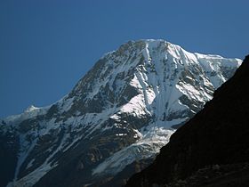
ChanguchElevation 6,322 m (20,741 ft) Location Location in northern India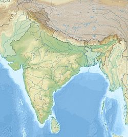
 Changuch
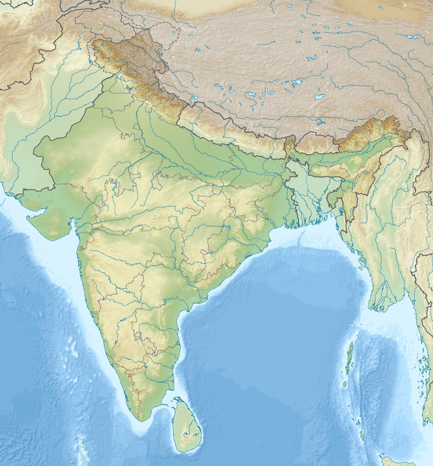
Location Pithoragarh, Bageshwar Uttarakhand,  India
IndiaRange Kumaon Himalaya Coordinates 30°17′24″N 80°02′24″E / 30.29°N 80.04°ECoordinates: 30°17′24″N 80°02′24″E / 30.29°N 80.04°E Climbing First ascent Martin Moran 9th June 2009 ,second ascent by Dhruv Joshi 17th June 2011 Changuch is a Himalayan mountain peak situated at the boundary of Pithoragarh and Bageshwar district of the Uttarakhand state of India. This peak is situated above the Pindari Glacier. This peak offers a ridge leading to Nanda Kot. On its massif Traill's pass is situated, which connects Pindari valley to Goriganga valley. The first successful ascent to the peak was made by an Indo-British team on June 9, 2009 at 9 am.
Contents
Attempts of 1987, 1997, 2007 & 2009
Attempts were made in the years 1987,1997 and 2007 and all three of them had failed. All these unsuccessful expeditions were through Pindari valley. Indo-British Mt. Changuch Expedition of 1987 was led by B. Mukhoty. They were forced to retreat. The expedition of 1997 was led by G. Murray. This expedition also failed to reach the summit and third attempt for this peak led by navy commander s dam with a joint expedition Indian navy-IMF. The expedition was again unsuccessful due to an avalanche and death of two member at a height of 5200 mtr. The two following teams also attempted the peak in 2009. one team led by Basanta Singha Roy,Unlike the British, the seven member team from West Bengal was not successful in climbing the peak. They crossed Trail’s pass en route and entered Lawan gad from Pindar valley. They established their summit camp at 5640 m on 29 August on the northwest ridge connecting Changuch with Nandakhat. Technical difficulties stopped the attempt at that point.anoyther expedition organised by Altitude High Adventure of 14 members Indian team attempted the paek in the post-monsoon season due to bad weather and snowfall they had to called off the expedition. They reached 300 m above their Camp 2, which was established at 5180 m.
British Expedition of 2009 - The First recorded successful ascent
In 2009, a British expedition led by Martin Moran[1] approached the peak from Lawan Valley, an easier route compared to the one taken by previous attempts of 1987, 1997 and 2007 and made a successful ascent on June 9, 2009. Expedition's original target was Nanda Devi East. However, during the course of expedition, due to difficult conditions and lack of resources to meet original target, they shifted the target to the nearby Changuch.
Indian Expedition of 2011 - The second recorded successful ascent (First Indian ascent)
In 2011 Indian Mountaineering Foundation send an Indian expedition to the peak led by Dhruv Joshi went via Pindari glacier and 5 members made a successful ascent on June 17, 2011 at 0950 am. Expedition consisted of 8 members. The team is as follows: Dhruv Joshi (leader), Dr. Anand Vaidhya (Medical Officer), Wallambok Lyngdoh, Bharat Bhushan , Takpa Norboo, Chetan Pandey, Mahesh S Dharamsaktu & Harish Kumar.No high altitudes porters were employed in this expedition. This is the second ascent of Changuch and first Indian and first from Pindari Glacier side.
References
- ^ http://aaj.americanalpineclub.org/climbs-and-expeditions/asia/india/uttaranchal/969/ retrieved on 30 March 2010
Categories:- Mountains of Uttarakhand
- Pithoragarh district

Wikimedia Foundation. 2010.