- Papatoetoe Train Station
Infobox Station
name=Papatoetoe Train Station
type=MAXXurban rail
image_size=
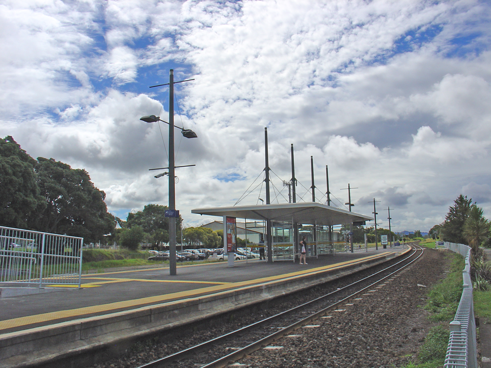
image_caption=Papatoetoe Train Station
address=Station Road and Shirley Road, Papatoetoe
coordinates=coord|-36.9782|174.8498|format=dms
line=Eastern line and Southern line
other=Services
structure=Shelter
platform=Island
depth=
levels=
tracks=Two
parking=Yes
bicycle=
baggage_check=
passengers=
pass_year=
pass_percent=
pass_system=
opened=1875
closed=
rebuilt=2006
electrified=
ADA=
code=
owned=ONTRACK and ARTA
zone=
former=
services=s-note|text=ONTRACK
mpassengers=Papatoetoe train station is on the Southern Line of the Auckland railway network. It is between Station Road and Shirley Road, across the street from Papatoetoe West School, and has anisland platform layout.History
Old Station Building
The old station building, restored by the
Papatoetoe Railway Station Preservation Trust , has been moved to the corner of Station Road, Shirley Road, Tavern Lane & St George Street. Parts of this building dated back to 1875. A new station was constructed on the present site.The old station is an integral part of the area's history, with "Old Papatoetoe" developing as a commercial centre.
Timeline
References
* Brochure from the
Papatoetoe Railway Station Preservation Trust .External links
* [http://www.historic.org.nz/magazinefeatures/2003winter/2003_winter_b.htm Stations on the Move] - includes Papatoetoe Station
Wikimedia Foundation. 2010.