- Kanwal, New South Wales
Infobox Australian Place | type = suburb
name = Kanwal
city = Central Coast
state = nsw
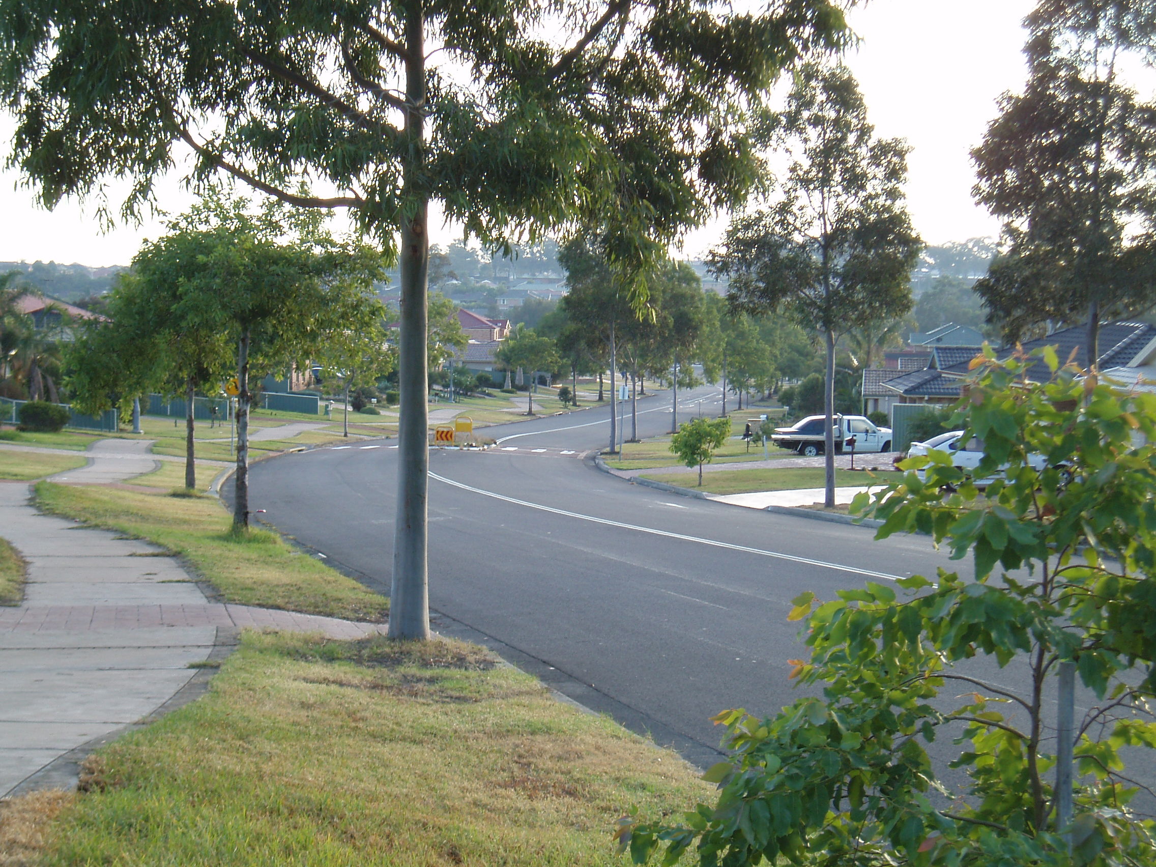
caption =
lga = Wyong Shire
postcode = 2259
pop = 3679 (2006 census)
area = 2
est =
parish = Munmorah
stategov = Wyong
fedgov = Shortland, Dobell
dist1 = 9
dir1 = NE
location1= Wyong
near-nw = Woongarrah
near-n = Charmhaven
near-ne = Lake Haven
near-w = Hamlyn Terrace
near-e = Gorokan
near-sw = Wadalba
near-s = Wyongah
near-se = "Tuggerah Lake "Kanwal is a suburb of the Central Coast region of
New South Wales ,Australia . It is part of theWyong Shire local government area.It is approximately 90km north ofSydney , 55km south of Newcastle and 6km west of thePacific Ocean .History
The area now known as Kanwal was a subdivision of Warnervale.
"Kanwal" is said to mean "snakes indeed" in a local Aboriginal language.
Landmarks
The dominating feature of Kanwal is the Wyong Rugby League Club to the northeast of the suburb. It is home to the Wyong Roos, a
rugby league football club, three sportingoval s, twonetball courts and a youth and community centre. There are severalpark s in Kanwal including Craigie Park to the east facing ontoTuggerah Lake , awetland area to the northwest and another sporting oval to the south separate from the Rugby League Club. Other landmarks in the area include a small shopping village, aprimary school , an aged care facility, four buildings of religious worship and a caravan park.Transport
The area is serviced by four regular
bus routesref|bus_timetableref|bus_routes, each starting atLake Haven Shopping Centre and terminating at Wyong railway station orWestfield Tuggerah and vice versa. All four routes split up in different directions at Kanwal, two servicing the northern and western areas and the other two servicing eastern and southern areas together.The Newcastle and Central Coast railway line that services some of Sydney, the Central Coast and most of Newcastle passes close by at Warnervale. Warnervale railway station lies approximately 4km to the west of Kanwal and one of the bus routes mentioned passes it several times a day. However, Wyong railway station also lies approximately 6km to the southwest, is serviced by all four bus routes frequently and has more train services operating from it, including the
CountryLink service.ref|train_timetablePolitics
Kanwal belongs to the Australian electoral division of Dobell, named after the prominent Australian sculptor and painter Sir William Dobell (1899-1970). The division covers approximately 952 km² and includes parts of Wyong Shire and Gosford City Councilref|dobell_profile. In the federal election of 2004 Kanwal contributed 2,652 of the 75,398 votes in the division and saw
Ken Ticehurst of the Liberal Party receive 1,108 of them (45.86%), followed byDavid Mehan of theAustralian Labor Party with 979 votes (40.52%) and Scott Ian Rickard of theAustralian Greens party with 111 votes (4.59%)ref|dobell_votes_by_polling_place. Ken Ticehurst went on to win the seat of Dobell for the second time in a row after the election of 2001 with 42,151 of the 75,398 votes (55.90%)ref|dobell_distribution.Kanwal is also a part of the
Electoral district of Wyong and in the state election of 2003 contributed 3008 out of 46,884 total votes in the electoral district.Paul Crittenden of the Australian Labor Party received 1,598 of the votes (53.13%), followed byBen Morton of the Liberal Party with 984 votes (32.71%) and Scott Ian Rickard of the Australian Greens party with 128 votes (4.26%). Paul Crittenden went on to win the election with a total of 24,644 (53.82%) votes.ref|wyong_state_election_resultsNotes
# Geographical Names Board of NSW. [http://www.gnb.nsw.gov.au/name_search/extract?id=MalpvqsEGH Geographical names register extract]
# Wyong Shire Council. [http://www.wyong.nsw.gov.au/wyongshire/social_atlas/Appendix_A.pdf Population by Suburb 1996 & 2001]
# RP Data property reports. [http://www.reports.rpdata.com.au/cgi-bin/vgmsg/RP_Reports/subprofile/rprepgenprofile-pdf.p?type=1&fromhome=1&rep=1&instate=New+South+Wales&insuburb=Kanwal&inpcode=2259 Free suburb profile (Kanwal)]
# Domain. [http://www.domain.com.au/Public/SuburbReport.aspx?searchTerm=Kanwal&mode=+%24257%2C000 Suburb Snapshot]
# Busways. [http://www.busways.com.au/timetables/LT110905Pg02-13.pdf Lake Haven, Wyong & Tuggerah bus timetable]
# Busways. [http://www.busways.com.au/routemap_pdfs/Wyong-Blue-tt-map.pdf Lake Haven, Wyong & Tuggerah route map]
# CityRail. [http://www.cityrail.com.au/timetable/ttable.jsp?line=nc&day=wd&dir=up#top Newcastle to Central via Strathfield or Chatswood Timetable]
# Australian Electoral Commission. [http://results.aec.gov.au/12246/results/HouseDivisionProfile-12246-115.htm Dobell division profile]
# Australian Electoral Commission. [http://results.aec.gov.au/12246/results/HousePollingPlaceFirstPrefs-12246-593.htm Votes by polling place - Kanwal]
# Australian Electoral Commission. [http://results.aec.gov.au/12246/results/HouseDivisionDop-12246-115.htm Full distribution of preferences]
# State Electoral Office. [http://www.seo.nsw.gov.au/electoral_districts_menu/district_index/Results_wyong_3592.html State Electoral District - Wyong Results 2003]References
* Wyong Shire Council. [http://www.wyong.nsw.gov.au/wyongshire/wyong_shire_home.html About Wyong Shire] .
* Bennett, F. C., [http://lib.councilsonline.com.au/wyong/webquery.dll?v1=pbMarc&v2=BENNETT&v4=1478&v5=3B&v8=1479&v9=10&v10=N&v11=22553&v13=4B&v20=4&v22=4B@S278273016&v23=19&v24=22553&v25=Bennett,%20F.%20C.&v27=3173&v35=N&v40=1477&v46=1479 The History of Wyong Shire] .External links
* [http://www.kanwal-p.schools.nsw.edu.au/ Kanwal Public School]
Wikimedia Foundation. 2010.