- Chicualacuala
-
Chicualacuala 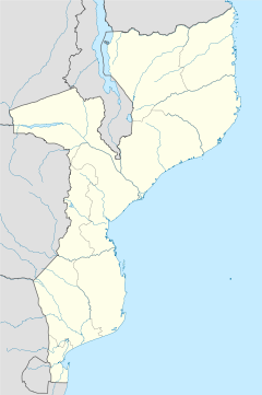
 Chicualacuala
Coordinates: 22°05′S 31°41′E / 22.083°S 31.683°E Country  Mozambique
Provinces Gaza Province District Chicualacuala District Elevation 448 m (1,470 ft) Chicualacuala is a town located in the province of Gaza in Mozambique. The town is better known by this unofficial name (and the name of the district to which the town belongs) than by its official toponym Vila Eduardo Mondlane.
Contents
History
The colonial name of the town was Malvérnia.
Chicualacuala had a turbulent history with attacks from Rhodesia on numerous occasions because it is the site of a key tropo-spheric communication. The town is located at an important crossing point near the border.
In June 1976 a Selous Scouts attack from Rhodesia named Operation Long John was launched on the ZANLA transit camp in Mapai and Chicualacuala. Under cover of an artillery barrage, a column of 6 vehicles attacked the town, and although few insurgents were killed, a large quantity of ammunitions were destroyed. The area again came under attack on October 31 of 1976.[1]
Geography
Neaby towns and villages include Nyala (8.5 nm), Samo (14.2 nm), Cherilele (6.3 nm), Benibueni (6.7 nm) and Sambula (21.4 nm).
Transport
The railway systems of Zimbabwe and Mozambique meet at this town and the railway station was part of the Rhodesian railway. The station is paired with the Zimbabwe station of Sango.
See also
- Railway stations in Mozambique
- Railway stations in Zimbabwe
References
Coordinates: 22°05′S 31°41′E / 22.083°S 31.683°E
Categories:- Chicuacuala District
- Populated places in Mozambique
- Mozambique–Zimbabwe border crossings
- Mozambique geography stubs

Wikimedia Foundation. 2010.