- Damflask Reservoir
-
Damflask Reservoir 
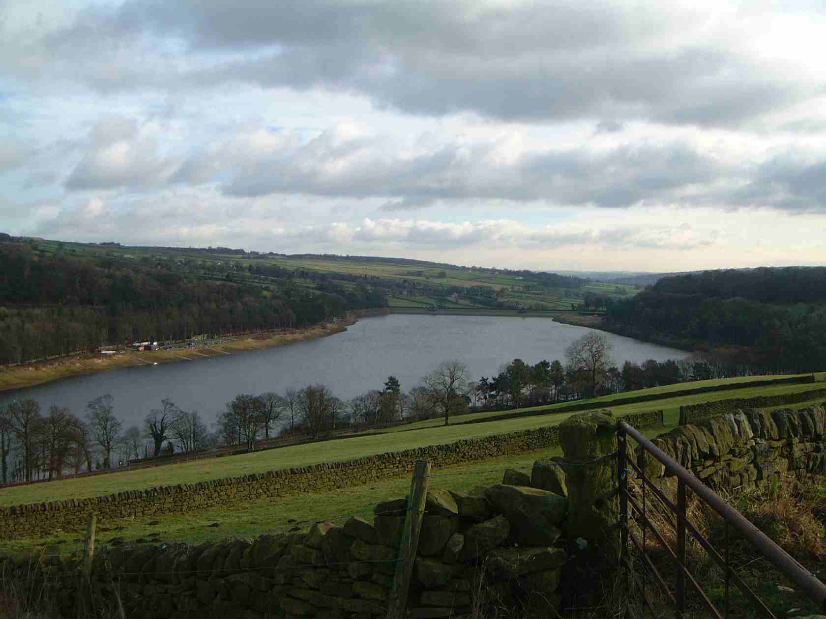
from Ughill Heights Location Loxley, South Yorkshire Coordinates 53°24′45″N 1°35′05″W / 53.41239°N 1.58474°WCoordinates: 53°24′45″N 1°35′05″W / 53.41239°N 1.58474°W Lake type reservoir Basin countries United Kingdom Surface area 47 ha Max. depth 27 m (88 ft) Damflask Reservoir is an English water feature situated at grid reference SK277907 five miles (eight kilometres) west of the centre of Sheffield in the Loxley valley close to the village of Low Bradfield and within the city's boundaries. The reservoir has a capacity of 4,250.9 million litres (1,123.1 million gallons) and has a surface area of 47 hectares (116 acres) with a maximum depth of 27 metres (88 ft). The dam wall is approximately 400 metres (1,312 ft) wide with a height of 28 metres (92 ft).
Construction
Damflask reservoir was built as one of a group of reservoirs in the Bradfield area (the others being Strines, Agden and Dale Dike reservoirs) to supply both fresh drinking water and a guaranteed supply of running water to the population and industries respectively of Sheffield. It was completed in 1896 with the dam walls being constructed from local stone, and its original purpose was primarily as a compensation reservoir to ensure a continuous flow of water to the River Loxley downstream. It takes its name from Damflask village which was washed away in the Great Sheffield flood of 11 March 1864, the village stood near the site of the current dam wall and had a Public house (Barrell Inn) corn mill, paper mill, wire mill, blacksmith's shop and a few dwellings. The village was never rebuilt after the flood because plans were already in hand to construct Damflask Reservoir.
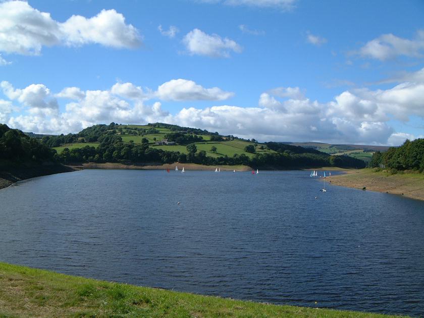
 Damflask Reservoir seen from the dam wall with the hill of Ughill Heights in the background.
Ownership and use
Damflask reservoir was built by the Sheffield Waterworks Company, and is owned today by Yorkshire Water which is part of the Kelda Group, they have opened the facility to various recreational groups. Three rowing clubs (City of Sheffield Rowing Club, Sheffield University Rowing Club and Sheffield Hallam University Rowing Club) are all active on the reservoir as are the Sheffield Viking Sailing Club. It is also open to anglers all the year round who fish mainly for Bream, Pike, Roach and European perch. The woodland around the reservoir have always been popular with walkers although they were restricted to permitted paths and rights of way for many years. However, in August 2002 Yorkshire Water opened all the area under the Countryside and Rights of Way Act 2000, allowing access to previously restricted areas.
References
Categories:- Reservoirs of the Peak District
- Reservoirs in Yorkshire
Wikimedia Foundation. 2010.