- Pacific Rim National Park Reserve
Infobox_protected_area | name = Pacific Rim National Park Reserve
iucn_category = II
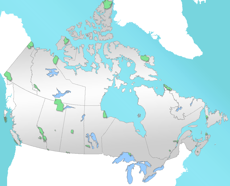
caption = Location of "Pacific Rim National Park" inCanada
locator_x = 14
locator_y = 175
location =British Columbia ,Canada
nearest_city = Victoria
lat_degrees = 48
lat_minutes = 38
lat_seconds = 10
lat_direction = N
long_degrees = 124
long_minutes = 46
long_seconds = 09
long_direction = W
area = 511 km² (marine:221, terrestrial:290)
established = 1970
visitation_num =
visitation_year =
governing_body =Parks Canada Pacific Rim National Park Reserve is a Canadian
national park inBritish Columbia made up of three separate regions: Long Beach, the Broken Group Islands, and theWest Coast Trail . The entire park encompasses 511 km² of land and ocean. The park is characterized by rugged coasts and lushtemperate rainforest s. The park is open from mid-March until mid-October.Geography
The park encompasses a thin strip of land located on the south-west coast of Vancouver Island. To the east of the park lies the
Vancouver Island Ranges of theInsular Mountains and to the west is thePacific Ocean .During fall and winter, the area is continually subjected to moist air masses from the Pacific Ocean. The presence of the mountain ranges causes the air masses to rise and deposit large quantities of precipitation, a phenomenon known as orographic precipitation. The area averages over 3000mm of precipitation per year, a key factor in producing temperate rainforests. During the drier summer months the area is frequently covered in fog. Average temperatures range from 14°C (57°F) during the summer and 6°C (43°F) in the winter.
Sitka Spruce are generally found near the coast due to its resistance to ocean spray and abrasive wind-blown sand. The spruce fringe acts as a buffer protecting the inland forests from the ocean. Further inland, the forests are composed ofwestern hemlock ,pacific silver fir andwestern red cedar . The park also features several bogs in poorly drained areas.Long Beach
Long Beach is the most visited and most accessible of the three regions. It is made up of the coastal region from
Tofino toUcluelet . The Green Point campground has 94 campsites, and is a short walk to the sandy beach which is popular for beachcombing, and observing the wildlife in the park. There are also many trails in the park with terrain ranging from bog to coastal rainforest. The beach here is reputed to have excellent surfing.Broken Group Islands
The Broken Group Islands region is made up of over one hundred small islands and islets in
Barkley Sound . The largest forested islands are Effingham, Turret, Turtle, Dodd, Jacques, Nettle and Gibraltar Island. The area is accessible only by boat, and is popular with kayakers. There are eight camping areas scattered on the islands. Campers should be aware that there is no fresh water available in the Broken Group Islands, so any water needed will have to be brought in.West Coast Trail
The
West Coast Trail is a 75 km trail along the west-coast ofVancouver Island fromPort Renfrew toBamfield . The trail was built to aid in the rescue of shipwrecked sailors. Construction on the trail started in 1907 and by 1910 the "Lifesaving Trail" was complete. The trail was abandoned in the 50s. By 1970 the trail was transformed into The West Coast Trail, a challenging trail that takes visitors along rocky beaches, through rainforest, and across sometimes rough and muddy terrain. The trail has been improved greatly over the years and can be traversed comfortably in 5-7 days.ee also
*
National Parks of Canada
*List of National Parks of Canada
*List of British Columbia Provincial Parks External links
* [http://parkscanada.gc.ca/pn-np/bc/pacificrim/index_e.asp Parks Canada web site]
* [http://www.longbeachmaps.com/parks.html Long Beach trails information]
Wikimedia Foundation. 2010.