- Gainesville Regional Airport
Infobox Airport
name = Gainesville Regional Airport
IATA = GNV
ICAO = KGNV
FAA = GNV
type = Public
owner = Gainesville-Alachua County Authority
operator =
city-served =
location =Gainesville, Florida
elevation-f = 152
elevation-m = 46
website = [http://www.gra-gnv.com/ www.gra-gnv.com]
r1-number = 11/29
r1-length-f = 7,504
r1-length-m = 2,287
r1-surface =Asphalt
r2-number = 7/25
r2-length-f = 4,158
r2-length-m = 1,267
r2-surface = Asphalt
stat-year = 2006
stat1-header = Aircraft operations
stat1-data = 133,881
stat2-header = Based aircraft
stat2-data = 131
footnotes = Source:Federal Aviation Administration FAA-airport|ID=GNV|use=PU|own=PU|site=03210.*A, effective 2007-10-25]Gainesville Regional Airport Airport codes|GNV|KGNV|GNV is a public
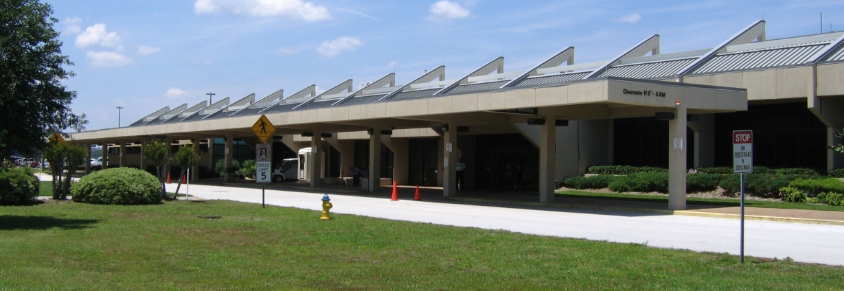
airport located three miles (5 km) northeast of thecentral business district of Gainesville, a city in Alachua County,Florida ,United States . The airport is owned by the Gainesville-Alachua County Authority. It was formerly known as J.R. Alison Airport. [ [http://www.gismonitor.com/news/newsletter/archive/020603.php GIS Monitor newletter, February 6, 2003] ]Within the past 12 months, the Airport has undertaken and substantially completed several largescale projects that include the refurbishment of its primary runway, piping of an open ditch parallel to that runway, and completion of Phase 1 of the Terminal Renovation project. Three passenger boarding bridges, covered walkways that connect the terminal building to the aircraft, are being installed, and the Authority has commissioned the design of Phase 2 of the Terminal Renovation which will go out for bids later this year.
Eclipse Aviation , maker of theEclipse 500 , has opened its first factory service center in Gainesville, which will support more than 1,000 jet aircraft.Facilities and aircraft
Gainesville Regional Airport covers an area of 1,650
acre s (668 ha) which contains twoasphalt pavedrunway s: 11/29 measuring 7,504 x 150 ft (2,287 x 46 m) and 7/25 measuring 4,158 x 100 ft (1,267 x 30 m).For the 12-month period ending December 31, 2006, the airport had 133,881 aircraft operations, an average of 366 per day: 84%
general aviation , 8%air taxi , 7% military and 1% scheduled commercial. There are 131 aircraft based at this airport: 83% single-engine, 9% multi-engine, 4% jet and 4%helicopter .Gainesville regional airport is served by one FBO, University Air Center. Previously there were two, Gulf Atlantic Airways and Flight Line. Flight Line's contract with the airport authority expired and Gulf Atlantic became University Air Center. University Air Center provides a pilots lounge with TV, snack machines, aircraft rentals and charters, and fuel.
History
During
World War II the airfield was used by theUnited States Army Air Force Training Command as a facility in support of the theArmy Air Force School of Applied Tactics atOrlando Army Air Base .Airlines and destinations
cheduled passenger service
*
Delta Air Lines
**Delta Connection operated byAtlantic Southeast Airlines (Atlanta)
*US Airways
**US Airways Express operated byPSA Airlines (Charlotte)ee also
*
Florida World War II Army Airfields References
External links
* [http://www.gra-gnv.com/ Gainesville Regional Airport] (official site)
*PDF| [http://www.cfaspp.com/FASP/AirportPDFs/gainesville%20regional%20%28april%202005%29.pdf Gainesville Regional Airport] |1.05 MiB brochure from [http://www.cfaspp.com/airports.asp CFASPP] (April 2005)
*WikiMapia|29.6901|-82.2718|14
*FAA-diagram|00973
*US-airport|GNV
Wikimedia Foundation. 2010.