Ord Mountains

Ord Mountains
Ord Mountains
Mountain Range
Country United States
State California
District San Bernardino County
Coordinates 34°39′27.976″N 116°45′9.111″W / 34.65777111°N 116.75253083°W / 34.65777111; -116.75253083
Highest point
 - elevation 1,367 m (4,485 ft)
Timezone Pacific (UTC-8)
 - summer (DST) PDT (UTC-7)
Topo map USGS Ord Mountain
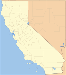
location of Ord Mountains in California [1]

The Ord Mountains are located in the Mojave Desert of southern California, USA. The range lies in a generally east-west direction, and reaches an elevation of 6,068 feet (1,850 m) above sea level at East Ord Mountain. The range is approximately 14 miles (23 km) long, and is about 17 mi (27 km) southeast of the city of Barstow. The Ord Mountains lie directly north of the Lucerne Valley and the San Bernardino Mountains.

References

  • Allan, Stuart (2005). California Road and Recreation Atlas. Benchmark Maps. p. 105. ISBN 0-929591-80-1. 


Wikimedia Foundation. 2010.

Игры ⚽ Поможем написать реферат

Look at other dictionaries:

  • Ord's Kangaroo Rat — Conservation status Least Concern (IUCN 3.1) …   Wikipedia

  • Ord River — from a boat Origin Kimberley Plateau Mouth Cambridge Gulf, Timor Sea …   Wikipedia

  • Newberry Mountains (California) — For the mountains with the same name in Nevada see Newberry Mountains (Nevada). Coordinates: 34°46′29.963″N 116°43′33.114″W /  …   Wikipedia

  • Rodman Mountains — The Rodman Mountains are located in the Mojave Desert of California in the United States. The range is located south of Interstate 40 and Newberry Springs, and east of the Ord Mountains and northwest of the Bullion Mountains. The mountains are… …   Wikipedia

  • Chuckwalla Mountains — Coordinates: 33°35′30.084″N 115°22′32.937″W / 33.59169°N 115.37581583°W / 33.59169; 115.37581583 …   Wikipedia

  • Coxcomb Mountains — Coordinates: 33°56′12.047″N 115°20′30.936″W / 33.93667972°N 115.34192667°W / 33.93667972; 115.34192667 …   Wikipedia

  • Chemehuevi Mountains — Coordinates: 34°37′30.031″N 114°31′32.863″W / 34.62500861°N 114.52579528°W / 34.62500861; 114.52579528 …   Wikipedia

  • Orocopia Mountains — Coordinates: 33°34′0.086″N 115°46′32.974″W / 33.56669056°N 115.77582611°W / 33.56669056; 115.77582611 …   Wikipedia

  • Old Woman Mountains Wilderness — IUCN Category Ib (Wilderness Area) …   Wikipedia

  • Mount Ord (Apache County, Arizona) — Mount Ord …   Wikipedia

Share the article and excerpts

Direct link
Do a right-click on the link above
and select “Copy Link”