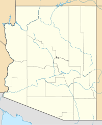
- Mount Ord (Apache County, Arizona)
-
Mount Ord Apache County, Arizona Elevation 11,363 ft (3,463 m) NAVD 88[1] Prominence 717 ft (219 m) [2] Location Range White Mountains Coordinates 33°56′16″N 109°36′18″W / 33.93766905°N 109.60494373°WCoordinates: 33°56′16″N 109°36′18″W / 33.93766905°N 109.60494373°W[1] Topo map USGS Mount Baldy Mount Ord is a mountain summit in Apache County, Arizona on the Fort Apache Indian Reservation. Springerville, Arizona is about 23 miles (37 km) to the northeast with Sunrise Park Resort 3.6 miles (5.8 km) to the east and Baldy Peak 3.3 miles (5.3 km) to the southeast.[3]
References
- ^ a b "Ords". NGS data sheet. U.S. National Geodetic Survey. http://www.ngs.noaa.gov/cgi-bin/ds_mark.prl?PidBox=DT0790.
- ^ "Mount Ord, Arizona". Peakbagger.com. http://www.peakbagger.com/peak.aspx?pid=3961.
- ^ "Baldy". NGS data sheet. U.S. National Geodetic Survey. http://www.ngs.noaa.gov/cgi-bin/ds_mark.prl?PidBox=DT0788.
External links
- "Mount Ord". Geographic Names Information System, U.S. Geological Survey. http://geonames.usgs.gov/pls/gnispublic/f?p=gnispq:3:::NO::P3_FID:32550.
Categories:- Landforms of Apache County, Arizona
- Mountains of Arizona
- Arizona geography stubs
Wikimedia Foundation. 2010.

