- Chugach Mountains
-
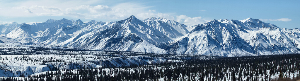
Chugach Mountains Range 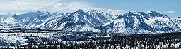 View of the Chugach Mountains from the Glenn Highway north of Anchorage
Country United States State Alaska Part of Pacific Coast Ranges Highest point Mount Marcus Baker - elevation 13,176 ft (4,016 m) - coordinates 61°26′14″N 147°45′10″W / 61.43722°N 147.75278°W Length 300 mi (483 km), E-W 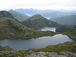 Alpine Lakes in the Chugach Mountains
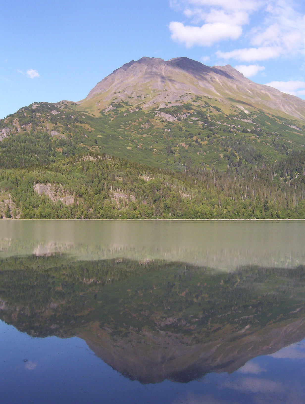
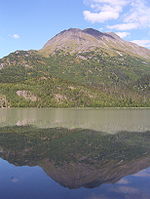 A peak in the Chugach Mountains
The Chugach Mountains of southern Alaska are the northernmost of the several mountain ranges that make up the Pacific Coast Ranges of the western edge of North America. The range is about 500 km (300 mi) long, running generally east-west. Its highest point is Mount Marcus Baker, at 13,176 feet (4,016 m), but most of its summits are not especially high. Even so its position along the Gulf of Alaska ensures more snowfall in the Chugach than anywhere else in the world; an annual average of over 1500 cm (600 in).[citation needed]
The mountains are protected in the Chugach State Park and the Chugach National Forest. Near to Anchorage, they are a popular destination for outdoor activities. The World Extreme Skiing Championship is held annually in the Chugach near Valdez.
The Richardson Highway, Seward Highway, and the Glenn Highway run through the Chugach Mountains. The tunnel from Portage on the Turnagain Arm of Cook Inlet to Whittier on Passage Canal also provides railroad and automobile access underneath Maynard Mountain to the Prince William Sound.
The name "Chugach" is from the Eskimo tribal name Chugachmiut recorded by the Russians and written by them "Chugatz" and "Tchougatskoi"; in 1898 U.S. Army Captain W. R. Abercrombie spelled the name "Chugatch" and applied it to the mountains.[1]
Mountains
- Mount Marcus Baker 13,176 ft (4,016 m)
- Mount Thor 12,251 ft (3,734 m)
- Mount Steller 10,617 feet (3,236 m)
- Mount Michelson 8,701 feet (2,652 m)
- Mount Palmer 6,940 feet (2,115 m)
- Flattop Mountain 3,510 feet (1,070 m)
- Eagle Peak 6,955 feet (2,120 m)
- Polar Bear Peak 6,614 feet (2,016 m)
- Ptarmigan Peak (Alaska)
- Wolverine Peak
- O'Malley Peak
See also
References
Categories:- Mountain ranges of Alaska

Wikimedia Foundation. 2010.