Chuya Alps

Chuya Alps
Verhnee Shavlinskoe ozero.jpg

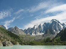
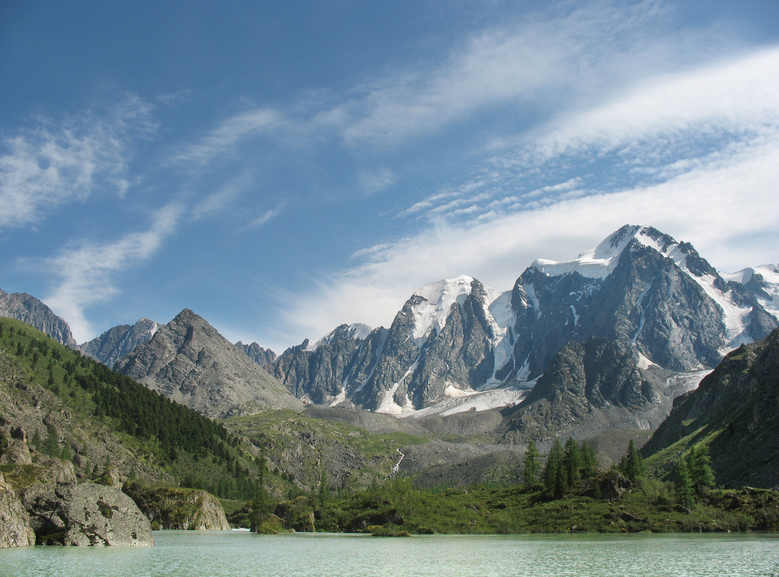
The Chuya Alps are part of the Altay mountain range, straddling the border of Russia and Kazakhstan close to the region where their borders and those of China and Mongolia meet. They have an average altitude of about 9000 ft with summits ranging from 11,500 to 12,000 ft. There are about ten glaciers found on the northern part of their slopes. They are named after the Chuya River.

Coordinates: 49°57′09″N 87°33′38″E / 49.9525°N 87.5606°E / 49.9525; 87.5606


Wikimedia Foundation. 2010.

Игры ⚽ Нужен реферат?

Look at other dictionaries:

  • Chuya Steppe — Steppe landscape The Chuya Steppe in the Siberian Altai Mountains is a depression formed by tectonic movement of major faults in the Earths crust. The name Chuya Steppe comes from the large river which runs through the steppe, the Chuya River.… …   Wikipedia

  • Altai Mountains — For other uses, see Altai (disambiguation). Coordinates: 49°N 89°E / 49°N 89°E / 49; 89 …   Wikipedia

  • List of ecoregions (WWF) — This is a list of ecoregions as compiled by the World Wildlife Fund (WWF). The WWF identifies terrestrial, freshwater, and marine ecoregions.The terrestrial scheme divides the Earth s land surface into 8 terrestrial ecozones, containing 867… …   Wikipedia

Share the article and excerpts

Direct link
Do a right-click on the link above
and select “Copy Link”