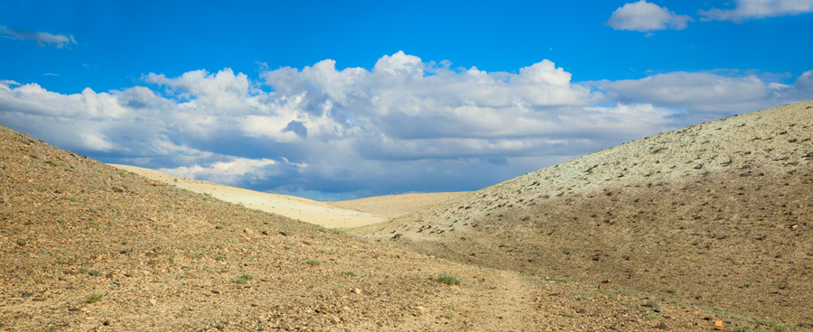
Chuya Steppe

Chuya Steppe
Steppe landscape

The Chuya Steppe in the Siberian Altai Mountains is a depression formed by tectonic movement of major faults in the Earths crust. The name 'Chuya Steppe' comes from the large river which runs through the steppe, the Chuya River.

Major Towns

Kosh-Agac is a major town in the north of the steppe. Other large towns include Chaganuzun and Beltir.

Geology

The Chuya Steppe is filled with Cenozoic sediments, derived from the surrounding mountains of the Chuya Range-Chuya Alps.

Seismicity

In September 2003, a major earthquake occurred in the Chuya Steppe which caused regional devastation. Major movement considered to have occurred on the Chuya thrust fault caused this earthquake, of magnitude 7.3. The USGS estimates that this caused $10.6 million damage.

Coordinates: 49°55′N 88°30′E / 49.917°N 88.5°E / 49.917; 88.5


Wikimedia Foundation. 2010.

Игры ⚽ Нужно решить контрольную?

Look at other dictionaries:

  • Mongoleigazelle — Mongolische Gazelle Mongolische Gazelle (Procapra gutturosa) Systematik Ordnung: Paarhufer (Artiodactyla) …   Deutsch Wikipedia

  • Mongolische Gazelle — (Procapra gutturosa) Systematik Ordnung: Paarhufer (Artiodactyla) Unterordnung: Wiederkäuer (Ruminantia) …   Deutsch Wikipedia

  • Procapra gutturosa — Mongolische Gazelle Mongolische Gazelle (Procapra gutturosa) Systematik Ordnung: Paarhufer (Artiodactyla) …   Deutsch Wikipedia

  • Altai Mountains — For other uses, see Altai (disambiguation). Coordinates: 49°N 89°E / 49°N 89°E / 49; 89 …   Wikipedia

  • List of ecoregions (WWF) — This is a list of ecoregions as compiled by the World Wildlife Fund (WWF). The WWF identifies terrestrial, freshwater, and marine ecoregions.The terrestrial scheme divides the Earth s land surface into 8 terrestrial ecozones, containing 867… …   Wikipedia

  • M52 highway (Russia) — M52 Federal Highway M52 Федеральная автомобильная дорога M52 Chuya Highway Чуйский тракт …   Wikipedia

  • Lena River — River, east central Russia, one of the longest rivers in the world. From its source in a Siberian mountain lake west of Lake Baikal, it flows 2,734 mi (4,400 km) north across Russia to enter the Arctic Ocean. Its basin covers an area of 961,000… …   Universalium

Share the article and excerpts

Direct link
Do a right-click on the link above
and select “Copy Link”