Pathfinder — or pathfinders may refer to:Astronomy* Mars Pathfinder, NASA exploration probe * Space Shuttle Pathfinder, space shuttle mockup known as OV 098Computer science* Path Finder, a shareware file browser for Mac OS X * Pathfinder Networks, method for… … Wikipedia
Pathfinder (RAF) — For other meanings, see Pathfinder (disambiguation). No. 8 (pathfinder) Group Active 15 August 1942 (as Pathfinder Force) 1945 Country … Wikipedia
Pathfinder Force — Die Pathfinder Force (PFF) war eine spezielle Formation innerhalb des Bomber Command der britischen Royal Air Force, die im Zweiten Weltkrieg zum Einsatz kam. Sie war für die Zielmarkierung für die nachfolgenden Bomberverbände zuständig. Ab 1943… … Deutsch Wikipedia
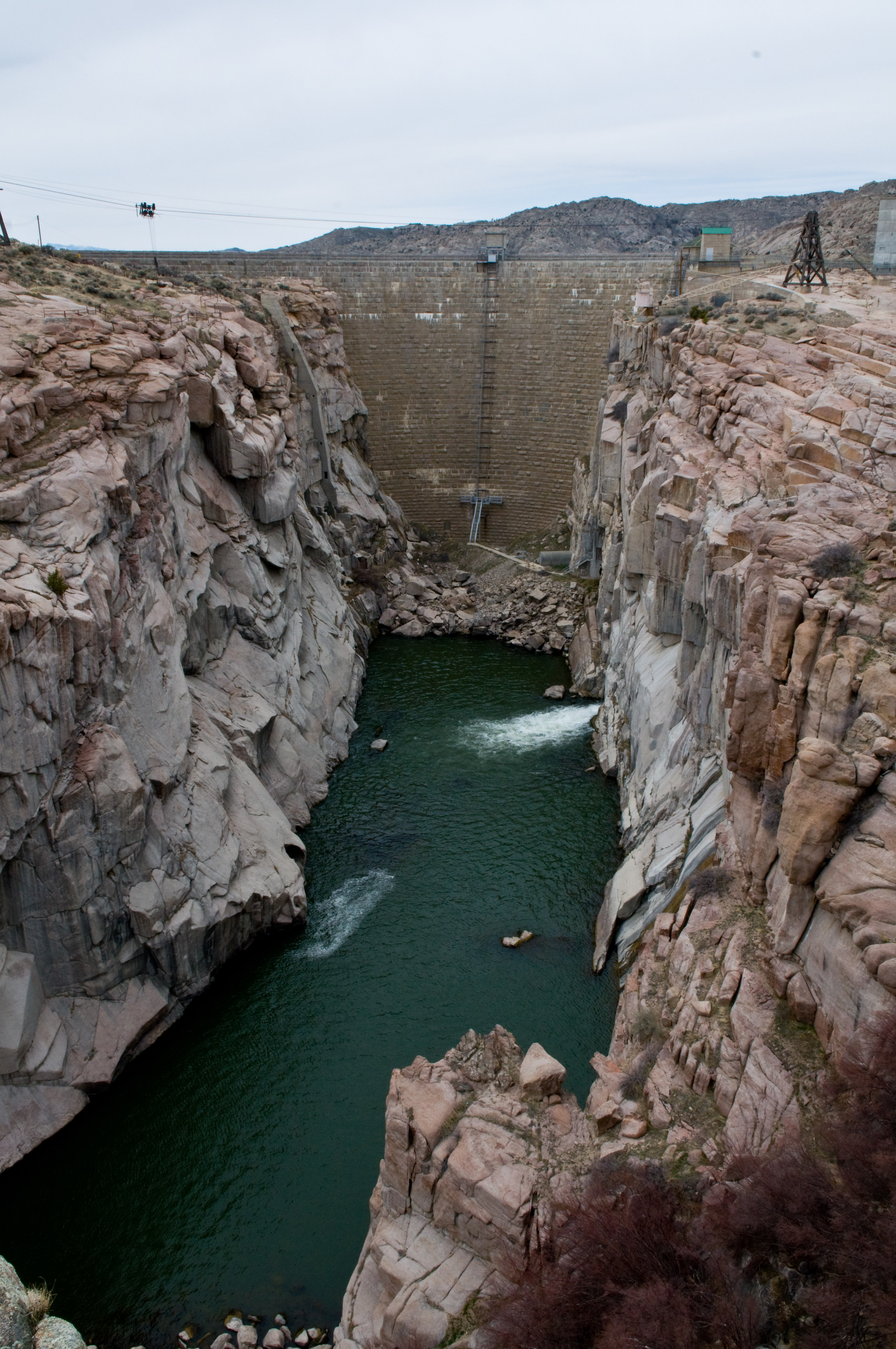
North Platte Project — Pathfinder Dam The North Platte Project (originally the Sweetwater Project) is an irrigation project in the U.S. states of Wyoming and Nebraska. The project provides irrigation service to about 335,000 acres (1,360 km2). The primary water… … Wikipedia
North Platte River — Coordinates: 41°06′56″N 100°41′15″W / 41.115573°N 100.687637°W / 41.115573; 100.687637 … Wikipedia
List of reservoirs and dams in the United States — There are an estimated 75,000 dams in the United States, blocking 600,000 miles (960,000 km) of river or about 17% of rivers in the nation . [cite web|url=http://www.pcffa.org/dams.htm |title=Dams and salmon |accessdate=2008 02 11] The following… … Wikipedia
List of dams and reservoirs in the United States — This list is incomplete; you can help by expanding it. The following is a partial list of dams and reservoirs in the United States. There are an estimated 75,000 dams in the United States, impounding 600,000 mi (970,000 km) of river or about 17%… … Wikipedia
Liste von Talsperren in den USA — 8092 Talsperren in den USA Diese Liste von Talsperren in den USA zeigt eine Auswahl der wichtigsten Talsperren bzw. Stauseen und künstlichen Staubecken in den USA. Die Zahl der Stauanlagen in den USA wird auf ca. 75.000 geschätzt. Die 8092… … Deutsch Wikipedia
National Register of Historic Places listings in Natrona County, Wyoming — Location of Natrona County in Wyoming This is a list of the National Register of Historic Places listings in Natrona County, Wyoming. It is intended to be a complete list of the properties and districts on the National Register of Historic Places … Wikipedia
Consolidated Natural Resources Act of 2008 — Full title A bill to authorize certain programs and activities in the Department of the Interior, the Forest Service, and the Department of Energy, to implement further the Act approving the Covenant to Establish a Commonwealth of the Northern… … Wikipedia