- West Coast Highway
Infobox Australian Road
road_name = West Coast Highway
route_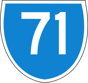
route_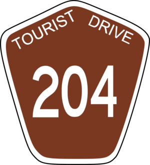
route_
photo =
caption =
length = 13
direction = North-South
start =
finish =
est = 1960s
through = Scarborough, City Beach, Swanbourne
route =
exits = Scarborough Beach Road, Hale Road, The Boulevard, Oceanic Drive, Alfred RoadWest Coast Highway is a major arterial coastal road located in the western and inner northern
suburb s of Perth,Western Australia , commencing slightly inland in Swanbourne and heading north via the SAS Campbell Barracks and rifle range to City Beach, Scarborough and Trigg, terminating at the intersection of Karrinyup Road andMarmion Avenue , at which point it becomes Marmion Avenue. It is allocated State Route 71 and also Tourist Drive 204 in various coastal parts. It links the northern coastal suburbs of Perth with the city of Fremantle. The speed limit is 80 km/h, reduced to 60-70 km/h in residential areas. It is a dual carriageway for most of its length.History
The highway began life as a minor coastal road (called Coast Road) between Swanbourne and North Beach in the 1940s. Prior to this time, the only access to settlements such as North Beach and Mullaloo had been by gravel road from
Wanneroo Road . In the late 1960s, it was significantly upgraded and extended to Mullaloo Beach.In the mid 1970s, the section through City Beach was redesigned, seeing the former Challenger Drive (inland) and West Coast Highway (coastal) trading names and the new highway being dualled as far north as Scarborough. The southernmost section running through Swanbourne was renamed Rochdale Road. In 1984, the highway was extended north to Ocean Reef Road.
By this stage,
Marmion Avenue had supplanted the highway as the major road servicing the new northern suburbs, and suburban Swanbourne was struggling to cope with the through-traffic. In 1985-86, immediately preceding the designation of the State Route system, the highway immediately north of Scarborough was diverted inland along its present route to join Marmion Avenue at Karrinyup Road, and the highway south of City Beach was rerouted into Servetus Street, Swanbourne.The northern two-thirds of the highway was divided up and renamed:
* West Coast Drive from Trigg to Hepburn Avenue and
Hillarys Boat Harbour ;
* Whitfords Avenue to Whitfords Avenue (east-west);
* Northshore Drive to Mullaloo Drive; and
* Oceanside Promenade to Ocean Reef Road.Apart from the section in Scarborough, all of these sections were continuous.
By
2000 , Servetus Street had become as much of a bottleneck as Rochdale Road had prior to 1985. A new extension to West Coast Highway, cut into the ground to reduce noise for local residents, was completed immediately next to Servetus Street, which was reduced to a local road. Curtin Avenue (leading to Fremantle) was also upgraded.ee also
*
Highways in Australia
*List of highways in Western Australia References
*Various UBD & Perth Metropolitan Street Directories - 1960s-1990s
* [http://www.landonline.com.au/skyviewwa/content/asp/skyviewwa_index.asp?product_group_id=78 Skyview WA - Department of Land Information, Western Australia]


Wikimedia Foundation. 2010.