- Hármashatárhegy
-
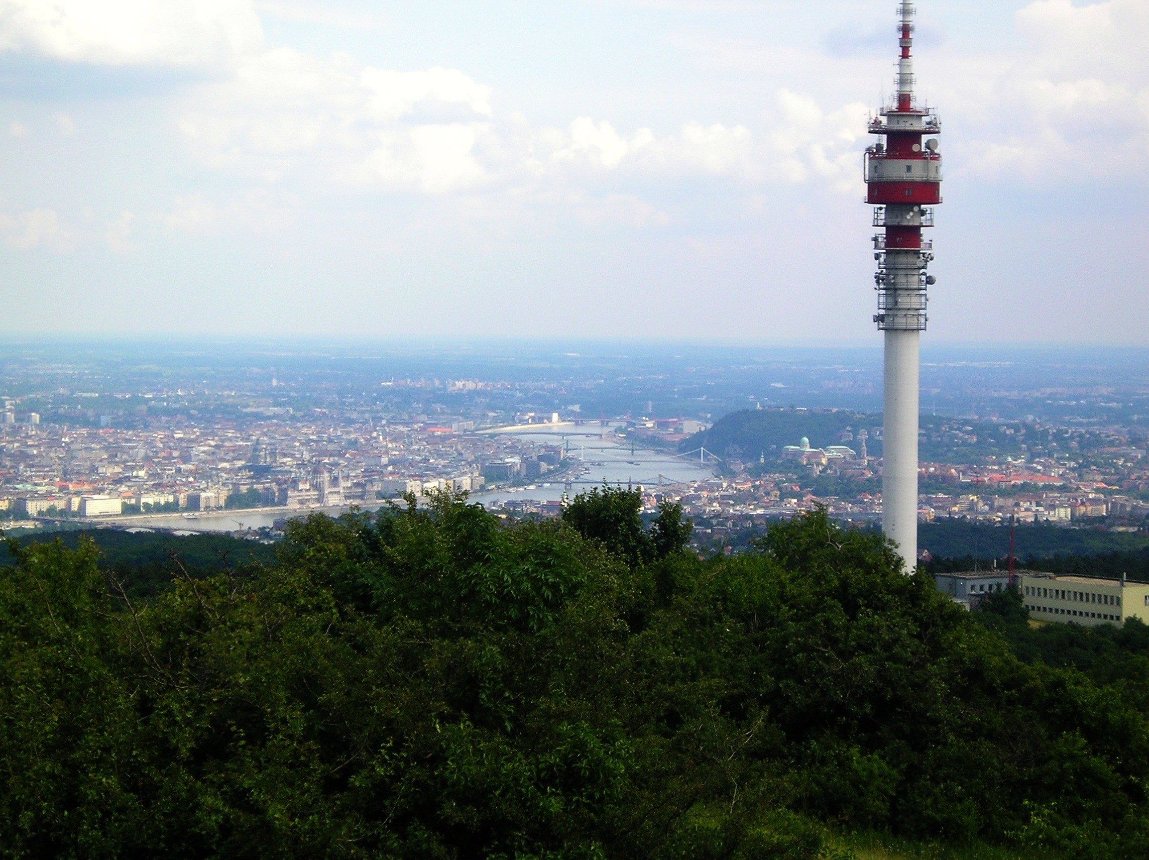
 View of Budapest from Hármashatárhegy.
Hármashatárhegy (German: Drei·hotter·berg; Its Austrian toponym ("Hotter") also Hungarian: Hármas-Határ-Hegy means "Three Border Mountain") is the name of a mountain in the city of Budapest, Hungary. Its name comes from the fact that the borders of 3 cities (Buda, Óbuda, Pesthidegkút) met at this point in the 19th century. Today, these cities have merged into Budapest, but the mountain's name has remained unchanged. However, the border between the II and III districts still bisects the mountain.
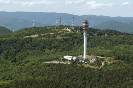
The mountain is located on the Buda side, at 495 m (1623 ft) above sea level. The mountain is a popular place for hiking, biking and paragliding. In the winter it is also a place for sled riding. There are several trails in the area, but the only one which reaches the top is the blue trail, also known as the Country Blue Trail (Az Országos Kéktúra). At the top of the mountain are television and radio towers, as well as a restaurant.
It is often windy at the peak, due to the lack of trees. Snow may linger up to two weeks after the snow in the city has melted. On average, the temperature is a couple of degrees Celsius less than on the Pest side.
Hármashatárhegy is part of the Buda Hills (Budai Hegyek).
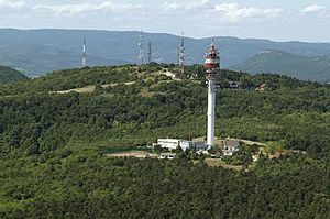 Aerial photography
Coordinates: 47°33′19″N 18°59′57″E / 47.5553°N 18.9991°E
External links

This linguistics article is a stub. You can help Wikipedia by expanding it.