- Alta Vista, Ottawa
Infobox City
official_name = Alta Vista
nickname =
motto =
imagesize =
image_caption =
image_
mapsize =
map_caption =
image_dot_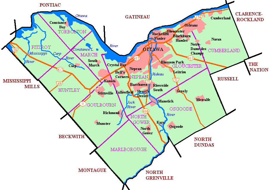
dot_mapsize = 300px
dot_map_caption =
dot_x =175 |dot_y =50
pushpin_
pushpin_label_position =
subdivision_type = Country
subdivision_name = Canada
subdivision_type1 = Province
subdivision_name1 =Ontario
subdivision_type2 = City
subdivision_name2 =Ottawa
leader_title = MPs
leader_title1 = MPPs
leader_title2 = Councillors
leader_name =David McGuinty
leader_name1 =Dalton McGuinty
leader_name2 =Peter Hume
established_title =
established_date =
area_magnitude =
area_total_km2 =
area_total_sq_mi =
area_land_km2 =
area_land_sq_mi =
area_water_km2 =
area_water_sq_mi =
area_water_percent =
area_urban_km2 =
area_urban_sq_mi =
area_metro_km2 =
area_metro_sq_mi =
settlement_type = Neighbourhood
population_as_of = 2006
population_note =Canada 2006 Census
population_total = 23456
population_density_km2 =
population_density_sq_mi =
population_metro =
population_density_metro_km2 =
population_density_metro_sq_mi =
population_urban =
timezone = Eastern (EST)
utc_offset = -5
timezone_DST =
utc_offset_DST =
latd=45 |latm=23 |lats=20 |latNS=N
longd=75 |longm=39 |longs=00 |longEW=W
elevation_m = 90
elevation_ft =
website =
footnotes =Alta Vista is a
neighbourhood inOttawa ,Ontario ,Canada . Its boundaries can be broadly described as:Smyth Road in the north,St. Laurent Boulevard in the east,Walkley Road and Heron Road in the south, and Bank Street and Riverside Drive in the west. However, the name can be somewhat ambiguous, as there are several sub-neighbourhoods in this area, (see list below), as well as a core Alta Vista area, (which could be defined as south of Pleasant Park Road, north of Heron Road, and west of the eastern greenspace corridor), centered around Alta Vista Drive.Alta Vista Drive is a major street running through the neighbourhood, and shares its name. Both are named for their relative height, as the neighbourhood is generally higher than most of the city. Alta Vista is a highlyresidential neighbourhood with a strong sense ofcommunity , several schools, churches, and community centres. It also has a vast amount ofgreenspace and parks, much of which is part of the Alta Vista Transportation Corridor Environmental Assessment [http://www.ottawaeast.ca/AVC.html] .The
OC Transpo Transitway also runs through Alta Vista, with two stations in the neighbourhood itself (Pleasant Park and Riverside) as well as two just outside (Billings Bridge and Smyth), serving as a vital transit link to the rest of the city.The General Campus of the
Ottawa Hospital , and TheChildren's Hospital of Eastern Ontario are located just on the north side of Smyth Road, in Riverview, while the Riverside Campus of the Ottawa Hospital is located at Smyth and Riverside Drive. There are twoshopping malls in and around Alta Vista, theBillings Bridge Plaza Shopping Centre at Bank Street and Riverside, as well as theElmvale Shopping Centre at St. Laurent and Smyth.Alta Vista had a population of about 23,456 as of the
Canada 2006 Census .Sub neighbourhoods
The Alta Vista area encompasses many smaller neighbourhoods:
*Applewood Acres
*Billings
*Canterbury
*Elmvale Acres
*Faircrest
*Guildwood Estates
*Playfair Park
*Rideau Park
*Urbandale
*Urbandale Acres Schools
There are several schools in the area, including:
Public elementary schools
*Alta Vista Public School
*Arch Street Public School
*Featherston Drive Public School
*Hawthorne Public School
*Pleasant Park Public School
*Vincent Massey Public School (on the north side of Smyth, technically in Riverview)Public secondary schools
*Canterbury High School
*Hillcrest High School
*Ridgemont High SchoolCatholic schools
*McMaster Catholic
*St. Patrick's Intermediate
*St. Patrick's High School"See:"
List of Ottawa schools ee also
*
List of Ottawa neighbourhoods
Wikimedia Foundation. 2010.