- Mount Stephenson
-
Mount Stephenson Alexander Island, Antarctica
 Mount Stephenson
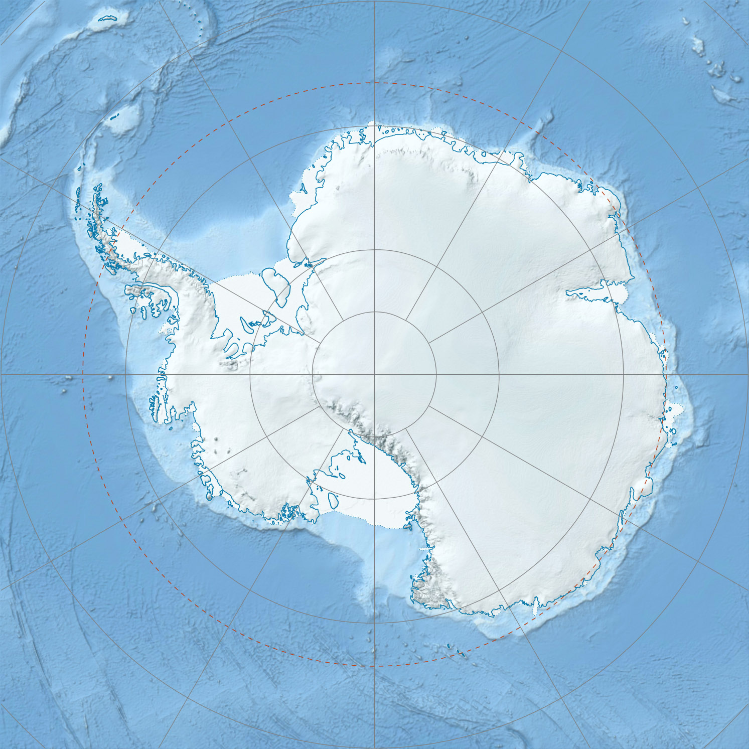
Elevation 2,987 m (9,800 ft) Prominence 2,987 m (9,800 ft) Listing Ultra Location Range Douglas Range Coordinates 69°49′S 69°43′W / 69.817°S 69.717°WCoordinates: 69°49′S 69°43′W / 69.817°S 69.717°W Mount Stephenson is the highest mountain in the Douglas Range, 2,987 m, standing at the heads of Toynbee Glacier and Sedgwick Glacier 8 miles west of George VI Sound, on the east side of Alexander Island within the British Antarctic Territory.
The mountain was probably first seen in 1909 by the French Antarctic Expedition under Charcot, but not recognized as part of the Douglas Range. It was first surveyed in 1936 by Stephenson, Fleming, and Bertram of the British Graham Land Expedition (BGLE) under Rymill. The east side of the mountain was resurveyed in 1948 by the Falkland Islands Dependencies Survey (FIDS) who named the feature for Alfred Stephenson, surveyor and leader of the BGLE party to George VI Sound in 1936.
References

This Alexander Island location article is a stub. You can help Wikipedia by expanding it.