- Ungheni, Argeş
-
For other uses of "Ungheni", see Ungheni (disambiguation).
Ungheni — Commune — 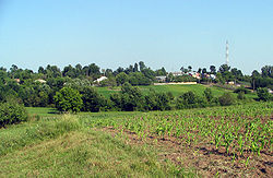
 Ungheni
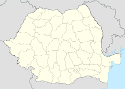
Coordinates: 44°30′N 24°58′E / 44.5°N 24.967°E Country  Romania
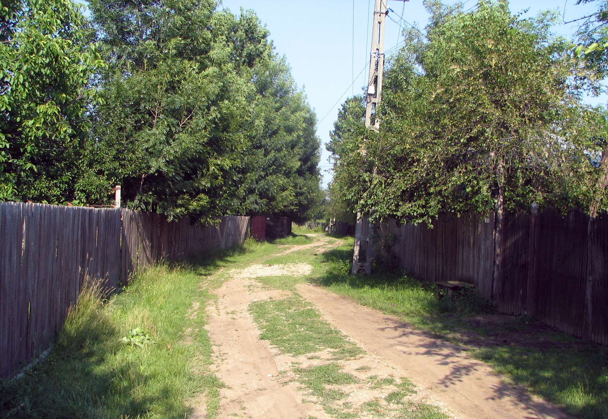
County Argeş County Population (2002)[1] 3,698 Time zone EET (UTC+2) – Summer (DST) EEST (UTC+3) 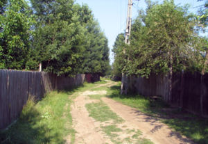 A dirt road through Ungheni
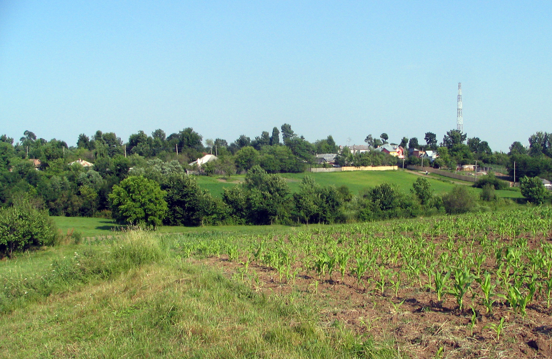
Ungheni is a commune in the southwestern part of Argeş County, Romania. It is composed of six villages: Colţu, Găujani, Goia, Humele, Satu Nou and Ungheni.
Nearby localities are Recea (to the east), Miroşi (to the south), Stolnici (to the west) and Buzoeşti (to the north). The National Road DN65A Piteşti - Costeşti - Roşiorii de Vede - Turnu Măgurele goes through Ungheni. The nearest river is Teleorman.
Coordinates: 44°30′N 24°58′E / 44.5°N 24.967°E
References
- ^ Romanian census data, 2002; retrieved on March 1, 2010
Categories:- Communes in Argeș County
- Argeș County geography stubs

Wikimedia Foundation. 2010.