- Dollart
-
For the steamship, see SS Dollart.
Coordinates: 53°17′N 7°10′E / 53.29°N 7.16°E
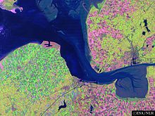 Ems estuary: The Dollart is at the bottom right.
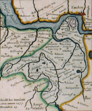
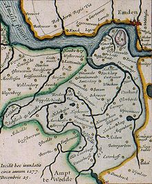 The area of the Dollart before its creation. The villages shown disappeared as the Dollart bay expanded. (The map was drawn in 1630, after the Dollart had already reached its largest surface.)
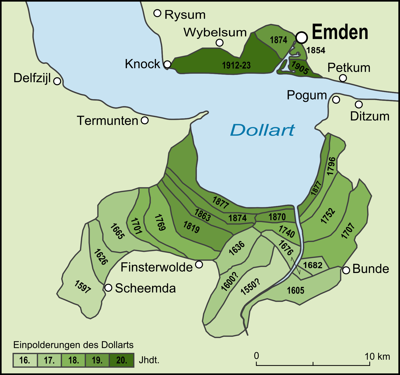
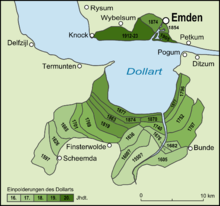 Recovery of the fringes of the Dollart: polders on the German (right and top) and Dutch (left and bottom) sides.
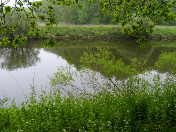
The Dollart (Dutch: Dollard) is a bay between northern Netherlands and Germany, on the west side of the estuary of the Ems river. Most of it dries at low tide. Many water birds feed there.
Gaining from and losing to the sea
The Dollart was likely created between 1219 and 1413, by the rising waterlevel and some floods. However, in the beginning that wasn't a real problem. The land was protected by dikes. But in the battle between the schieringers and vetkopers, two medieval Frisian parties, some dikes were attacked. Some historians think that those dikes collapsed in 1413 and overflowed the land (Reiderland). In 1520 the Dollart had its largest surface. Between then and the 19th century, the Dollart had partly been re-empoldered again.
Nowadays it's a paradise for all kinds of birds and other animals that live around water. The foundation of protecting and examining the landscape of Groningen, Het Groninger Landschap, organizes excursions to the Dollart around three times a year.
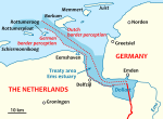 Disputed border between Germany and The Netherlands.
Border conflict
The Netherlands and Germany do not agree on the exact course of the border through the bay. The territorial dispute has gained relevance as there are plans for an offshore wind farm.[1]
References
- ^ "Nederland en Duitsland bespreken zeegrens", Spits, 14 January 2011.
Categories:- Netherlands stubs
- Landforms of the Netherlands
- Bays
- Germany–Netherlands border

Wikimedia Foundation. 2010.