- Raung
-
Raung 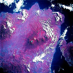
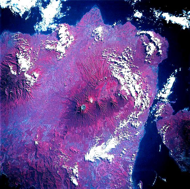
Color infrared view of Raung Volcano, May 1992Elevation 3,332 m (10,932 ft) [1] Prominence 3,069 m (10,069 ft) [2][3] Listing Ultra
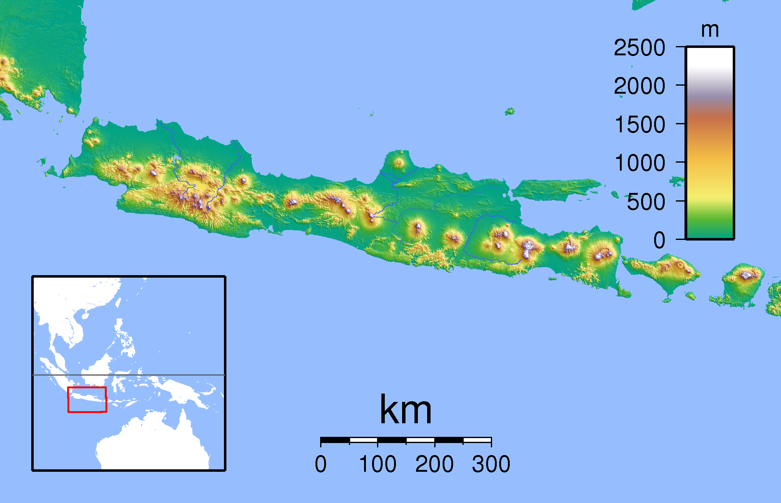
RibuLocation Location on Java, Indonesia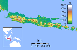
 Raung
RaungLocation Java, Indonesia Coordinates 8°07′30″S 114°02′30″E / 8.125°S 114.04167°ECoordinates: 8°07′30″S 114°02′30″E / 8.125°S 114.04167°E[1] Geology Type Stratovolcano Last eruption 2008 Raung is one of the most active volcanoes on the island of Java in Indonesia.
It is located in the province of East Java and has a 2 kilometres (1.2 mi) wide caldera surrounded by a grayish rim. The difference in color of the rim and the flanks of the volcanoes is caused by the rim’s lack of vegetation compared with the healthy and extensive vegetation on the flanks. Raung, standing almost 3,332 metres (10,932 ft) above sea level, is the tallest volcano of this cluster. Although the valleys between the major volcanoes boast fertile, ash-enriched soil for agriculture, available land is very limited. Raung contains centres constructed along a NE to SW line, with Gunung Suket and Gunung Gadung stratovolcanoes being located to the northeast and west, respectively.
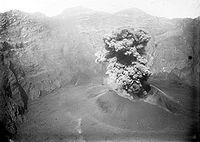 Eruption of 1913.
Its earliest recorded eruption was in 1586 which resulted in fatalities; between 1586 and 1817 five more deadly eruptions were recorded.[4]
See also
- List of volcanoes in Indonesia
- List of Ultras of Indonesia
References
- ^ a b "Raung". Global Volcanism Program, Smithsonian Institution. http://www.volcano.si.edu/world/volcano.cfm?vnum=0603-34=. Retrieved 2008-12-24.
- ^ "Mountains of the Indonesian Archipelago" Peaklist.org. Retrieved 2011-11-22.
- ^ "Gunung Raung, Indonesia" Peakbagger.com. Retrieved 2011-11-22.
- ^ McClelland, Lindsay (1989). Global Volcanism, 1975-1985. Englewood Cliffs, N.J: Prentice Hall. ISBN 0-13-357203-X.
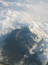 Raung, September 2005Categories:
- Stratovolcanoes
- Volcanoes of Java
- Mountains of Indonesia
- Volcanic calderas of Indonesia
- East Java
- Active volcanoes of Indonesia
- Java geography stubs


Wikimedia Foundation. 2010.