Kenwick, Western Australia
- Kenwick, Western Australia
Infobox Australian Place | type = suburb
name = Kenwick
city = Perth
state = wa
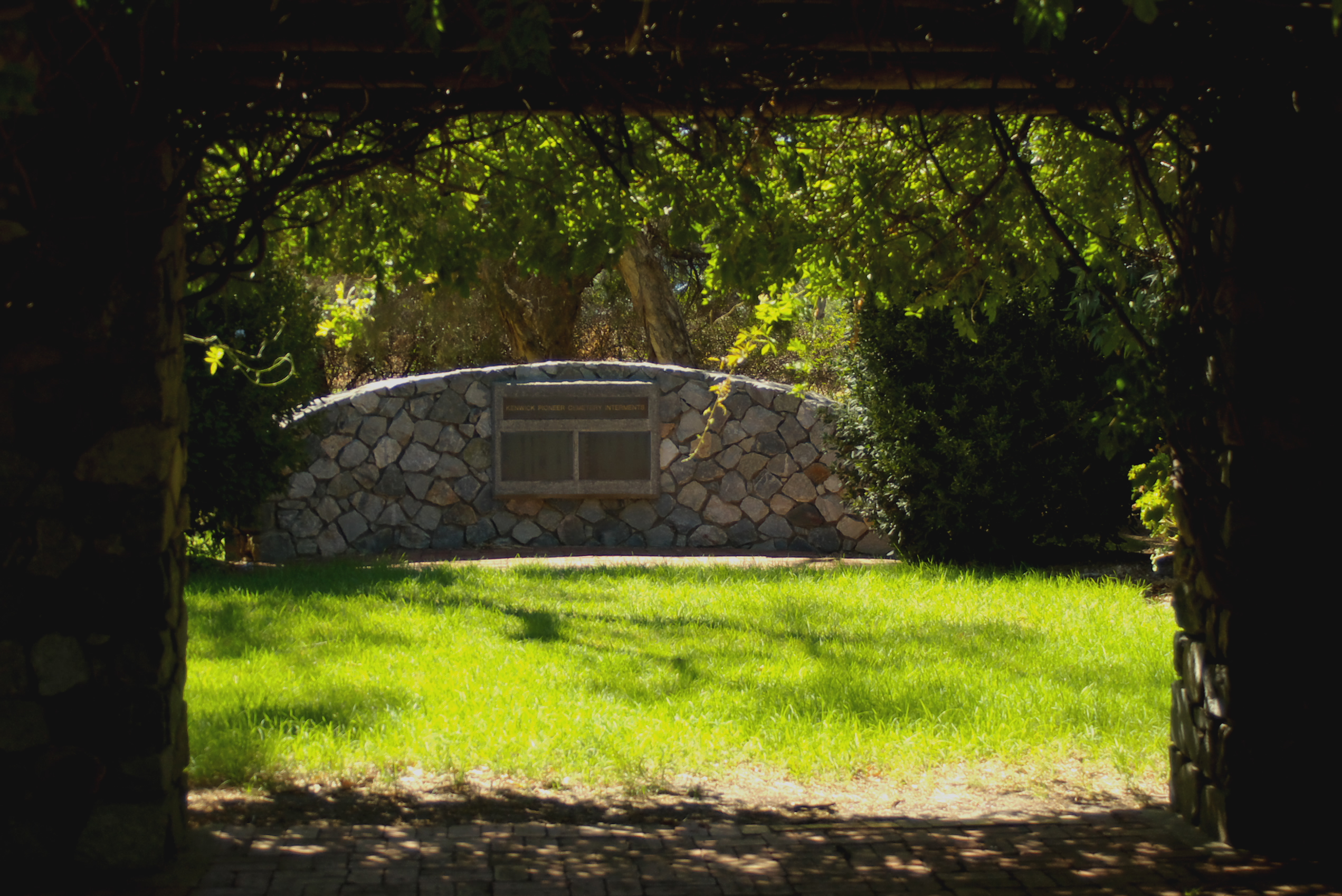
caption = Memorial at Kenwick Pioneer Cemetery
lga = City of Gosnells
area = 9.8
postcode = 6107
pop = 5,157 [Census 2001 AUS|id=SSC51726|name=Kenwick (State Suburb)|accessdate=2008-06-01|quick=on]
dist1=18
location1=Perth, Western Australia
est=
fedgov=Division of Swan
stategov=Electoral district of Kenwick
propval=$348,000 (six months to Aug 2007) [ [http://www.homepriceguide.com.au/snapshot/price/index.cfm?action=view&suburbORpostcode=6107&st_locale=Beckenham Beckenham property values] ]
near-e =Orange Grove
near-se =Maddington
near-sw=Langford
near-s =Maddington
near-n=Wattle Grove
near-ne=Wattle Grove
near-w =Cannington
near-nw=Beckenham
Kenwick is a suburb of Perth, Western Australia, located within the City of Gosnells. Its postcode is 6107.
ee also
Kenwick Train Station
References
Wikimedia Foundation.
2010.
Look at other dictionaries:
Thornlie, Western Australia — Thornlie Perth, Western Australia Thornlie Square shopping centre … Wikipedia
Maddington, Western Australia — Infobox Australian Place | type = suburb name = Maddington city = Perth state = wa lga = City of Gosnells imagesize = 270 caption = One of the buildings that form part of the original farm in Maddington pop = 9136 pop footnotes = [Census 2006 AUS … Wikipedia
Martin, Western Australia — Martin Perth, Western Australia … Wikipedia
Beckenham, Western Australia — Infobox Australian Place | type = suburb name = Beckenham city = Perth state = wa caption = lga = City of Gosnells area = 5.9 postcode = 6107 pop = 5938 (2006 census)Census 2006 AUS|id=SSC51116|name=Beckenham (State… … Wikipedia
Cannington, Western Australia — Infobox Australian Place | type = suburb name = Cannington city = Perth state = wa caption = Kent Street Weir. lga = City of Canning area = 4.1 postcode = 6107 pop = 4094 (2006 census)Census 2006 AUS|id=SSC51241|name=Cannington (State… … Wikipedia
Huntingdale, Western Australia — Infobox Australian Place | type = suburb name = Huntingdale state = wa city = Perth caption = pop = 8,118 (2006 census)Census 2006 AUS|id=SSC51661|name=Huntingdale (State Suburb)|quick=on|accessdate=2008 10 05] postcode = 6110 lga = Gosnells area … Wikipedia
List of major roads in Perth, Western Australia — This page details the major roads in the greater Perth conurbation, in Western Australia.A list of the routes (most involving multiple roads) is available at List of road routes in Perth, Western Australia.Freeways in Perth (by road route… … Wikipedia
East Cannington, Western Australia — Infobox Australian Place | type = suburb name = East Cannington city = Perth state = wa caption = lga = City of Canning area = 2.8 postcode = 6107 pop = 3,025 (2001 census)Cite web |url=http://www.abs.gov.au/AUSSTATS/abs@.nsf/Lookup/3218.0Main%20F… … Wikipedia
Orange Grove, Western Australia — Orange Grove Perth, Western Australia Bickley Dam and Reservoir panorama … Wikipedia
Wattle Grove, Western Australia — Infobox Australian Place | type = suburb name = Wattle Grove city = Perth state = wa caption = Land for sale signs in cell 9 as land is sub divided by developers in Wattle Grove lga = Shire of Kalamunda area = postcode = 6107 pop = 2,339 (2006)… … Wikipedia