- Bibra Lake, Western Australia
Infobox Australian Place | type = suburb
name = Bibra Lake
city = Perth
state = wa
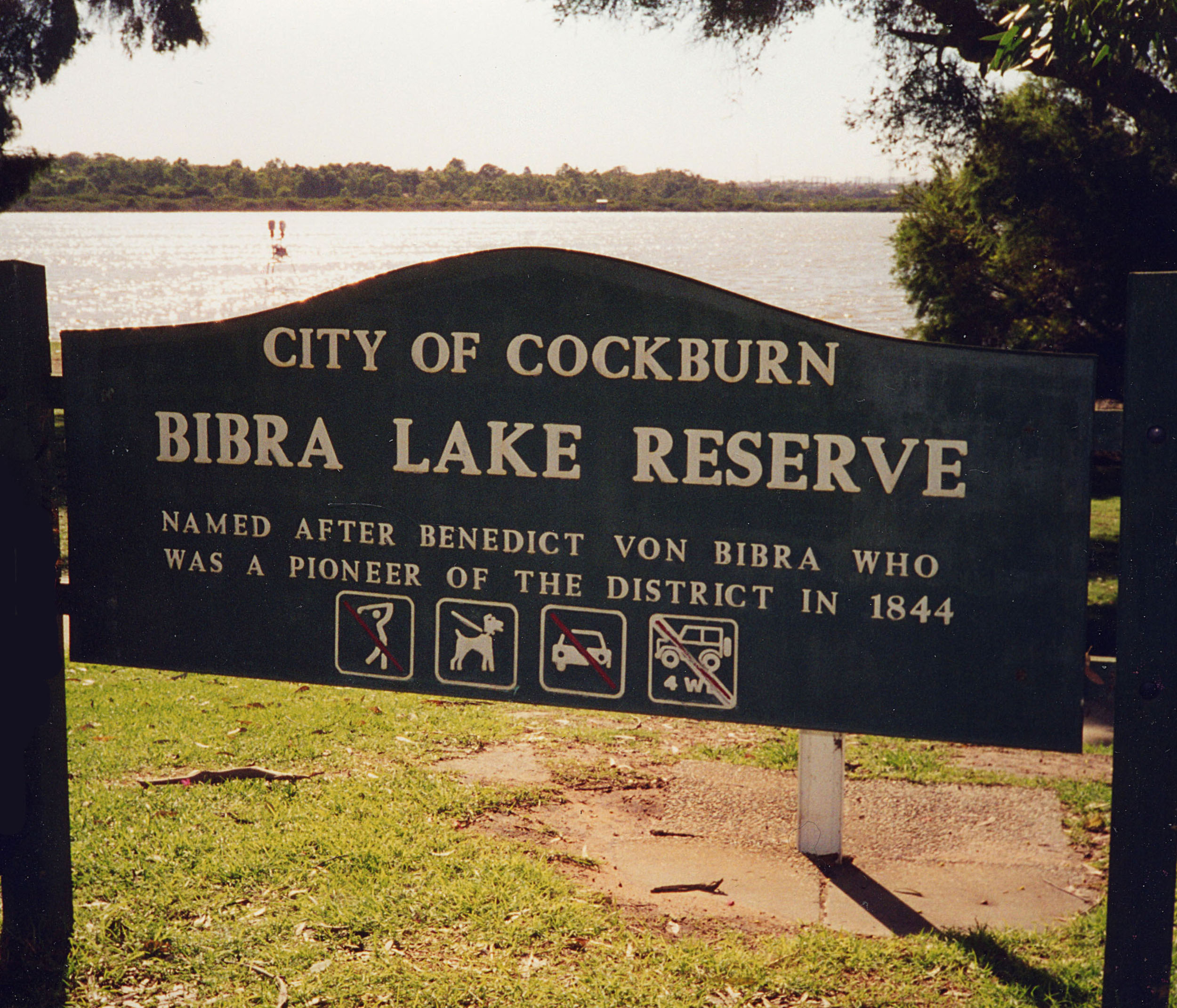
lga =City of Cockburn
caption =
pop = 6,072 (2006 census)Census 2006 AUS|id=SSC51166|name=Bibra Lake (State Suburb)|quick=on|accessdate=2008-10-05]
postcode = 6163
area = 12.6
est =
stategov = Willagee
stategov2 = Cockburn
stategov3 = Jandakot
fedgov = Fremantle
near-nw = Hamilton Hill
near-n = North Lake
near-ne = Leeming
near-e = Jandakot
near-w = Spearwood
near-sw = Munster
near-s = Yangebup
near-se = South Lake
dist1 = 20
location1= Perthcoord|-32.099|115.818|type:city(6072)_region:AU-WA_scale:30000|format=dms|display=titleBibra Lake is a suburb of
Perth, Western Australia , which takes its name from the extensive lake within its boundaries. It is located within the City of Cockburn and its postcode is 6163.History
The existence of the lake was first reported by A.C. Gregory during a survey of George Robb's land in May 1842. Gregory recorded the Aboriginal name of the lake as "Walubup". During the following year, Benedict von Bibra, surveying his own selection on the southern shores of the lake, recorded the name as "Walliabup" and the latter version was used exclusively on maps for more than half a century [LandInfo WA|m|B|2007-10-12] .
In the summer of 1843, Benedict
von Bibra bought land at the edge of a wide depression to use as a camping place in order to shorten the trip between his two carpentry businesses in Perth and Fremantle. He apparently assessed from the stringyback trees, that the basin would become a lake in winter of a depth of seven to eight feet. He proved correct ["The Von Bibra Story" Lois Nyman and Graeme von Bibra, November 1996, Foot & Playsted Pty Ltd., Launceston ISBN 0-9597188-1-8] .In 1877, it was found the von Bibra's association with "Lake Walliabup" was apparently still recalled by locals who referred to the feature as "Bibra's Lake". This alternative name was added to plans and eventually in 1967, adopted in place of the Aboriginal name. In 1898 Bibra Lake was reserved for recreation and all applications to lease land were strenuously opposed by the Fremantle District Roads Board, which was given control of the reserve in 1902. Tearooms were erected and the Reserve became a popular venue for picnics and sports gatherings ["Cockburn: The Making of a Community" Michael Berson, 1978, Town of Cockburn, ISBN 9596533-0-9] .
Geography
It is bounded by the Roe Highway reservation to the north, Stock Road to the west, the Kwinana Freeway to the east and the freight rail line to the south. [Streetsmart WA|maps=Maps 431-432, 461-462] Bibra Lake is the fourth lake (going north to south) of a string of lakes which combined comprise the
Beeliar Regional Park . Bibra Lake contains two electric insect traps designed to reduce the number ofmosquitoes in the area. Around the lake is a cycle way which provides access to bird observation hides.Infobox lake
align= left
lake_name = Bibra Lake
image_lake =
caption_lake =
image_bathymetry =
caption_bathymetry =
location =Perth, Western Australia
coords = subst:User:Orderinchaos/mapit|32.0936|S|115.8257|E|region:AU-WA_type:waterbody
type =
inflow =
outflow =
catchment =
basin_countries = Australia
length =
width =
area =
depth =
max-depth =
volume =
residence_time =
shore =
elevation =
islands =
cities =Facilities
The majority of the suburb, which is not part of the
Beeliar Regional Park contains a major light industrial area, with businesses such asAmcor .Bibra Lake is the location for several major private recreation facilities, including
Adventure World theme park, aBungee tower,paint ball andlaser tag operations. Bibra Lake also has a Waldorf Primary school.References
Wikimedia Foundation. 2010.