- Myaree, Western Australia
-
Myaree
Perth, Western Australia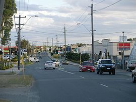

 Myaree
Population: 1800 (2006 census)[1] Established: 1950s Postcode: 6154 Location: 11 km (7 mi) from Perth LGA: City of Melville State District: Bateman, Willagee Federal Division: Tangney Suburbs around Myaree: Melville Alfred Cove Ardross Melville Myaree Booragoon Willagee Winthrop Winthrop Coordinates: 32°02′28″S 115°48′54″E / 32.041°S 115.815°E
Myaree is a suburb of Perth, Western Australia, located within the City of Melville. Myaree gets its name from an Aboriginal word meaning foliage.
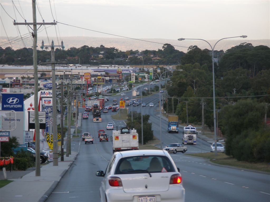
 Leach Highway in Myaree
Myaree is a predominantly light industrial area. When it was developed, roads were named after fallen soldiers from World War I and early settlers in the area.
References
- ^ Australian Bureau of Statistics (25 October 2007). "Myaree (State Suburb)". 2006 Census QuickStats. http://www.censusdata.abs.gov.au/ABSNavigation/prenav/LocationSearch?collection=Census&period=2006&areacode=SSC52021&producttype=QuickStats&breadcrumb=PL&action=401. Retrieved 2008-10-05.
Suburbs of the City of Melville | Perth | Western Australia Alfred Cove · Applecross · Ardross · Attadale · Bateman · Bicton · Booragoon · Brentwood · Bull Creek · Kardinya · Leeming · Melville · Mount Pleasant · Murdoch · Myaree · Palmyra · Willagee · Winthrop
Categories:- Suburbs of Perth, Western Australia
- Perth, Western Australia geography stubs


Wikimedia Foundation. 2010.