- Proserpine, Queensland
Infobox Australian Place | type = town
name = Proserpine
state = qld
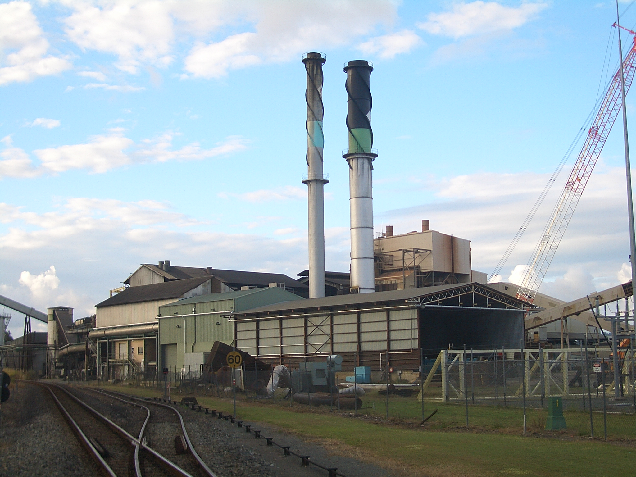
caption = Proserpine Sugar Mill dominates the Skyline of the eponymous town
lga = Whitsunday Regional Council
postcode = 4800
est =
pop = 3,316
pop_footnotes=
elevation= 20
elevation_footnotes= [ [http://www.bom.gov.au/climate/averages/tables/cw_033247.shtml Bureau of Meteorology] Retrieved2007-11-22 .]
maxtemp = 28.7
mintemp = 17.6
rainfall = 1336.3
stategov = Whitsunday
fedgov = Dawson
dist1 = 1074
dir1 = NW
location1=Brisbane
dist2 = 126
dir2 = NW
location2=Mackay
dist3 = 68
dir3 = SE
location3=BowenProserpine is a town situated on the
Bruce Highway in the state ofQueensland ,Australia . The town is a sugar producing centre. At the 2006 census, Proserpine had a population of 3,316.Census 2006 AUS|id=UCL347400 |name=Proserpine (Urban Centre/Locality)|accessdate=2007-11-22|quick=on]Early settlers established the town in the 1880s and named it after the ancient Greek goddess
Persephone (Latin :Proserpina ).Proserpine is approxiamtely 30 Kilometres North West of Airlie Beach and, like Airlie Beach, Proserpine is situated in the Whitsunday Shire and has the regions Hospital, Rail Station, Airport, Olympic 8 lane pool, Sporting Complex, Entertainment Centre, High School (along with a state and catholic primary schools).
The town has more than five parks and new ones being constructed in various new housing estates around the town.
Sugar Industry
The town is surrounded by
sugar cane fields. The sugar cane cut there during the harvest season is brought over a network of narrow-gauge (2 feet) railways toProserpine Sugar Mill , established in 1897. [ [http://www.prosugar.com.au/ Proserpine Sugar Mill] ]References
External links
* [http://www.whitsunday.qld.gov.au/ Whitsunday Shire Council]
Wikimedia Foundation. 2010.