Owyhee Mountains

Owyhee Mountains
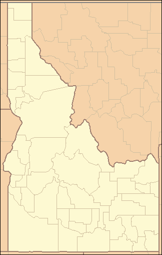
Owyhee Mountains
Mountain Range
Country United States
State Idaho, and Oregon
Region Ore-Ida
District Owyhee County, Idaho and Malheur County, Oregon
Range Owyhee Mountain Range
Landmark Honeycombs
River Owyhee River
Coordinates 42°58′50.580″N 116°39′31.437″W / 42.9807167°N 116.6587325°W / 42.9807167; -116.6587325
Highest point Hayden Peak
 - location Hayden Peak summit, Owyhee County, Farview Idaho
 - elevation 2,556 m (8,386 ft)
Geology Lava rocks, thundereggs
Plant Sagebrush, cheat grass
Animal antelope, deer, elk, coyote, cougar,
chukar, grouse, trout, crappy, catfish, fox
Timezone Mountain (UTC-7)
 - summer (DST) MDT (UTC-6)
Topo map USGS Cinnabar Mountain
location of Owyhee Mountains in Idaho [1]

The Owyhee Mountains are a mountain range in Owyhee County, Idaho and Malheur County, Oregon.[1]

References

((Mildretta Adams. (1986). Sagebrush Post Offices, A History of the Owyhee Country. Retrieved on Feb 7, 2011.))


Wikimedia Foundation. 2010.

Игры ⚽ Поможем написать реферат

Look at other dictionaries:

  • Owyhee Mountains — Sp Ováihio kalna Ap Owyhee Mountains L JAV (Aidahas) …   Pasaulio vietovardžiai. Internetinė duomenų bazė

  • Owyhee County, Idaho — Reynolds Creek Experimental Watershed in the Owyhee Mountains about 50 miles southwest of Boise …   Wikipedia

  • Owyhee Dam — View from the north Location Malheur County, Oregon Coordinates …   Wikipedia

  • Owyhee County — Verwaltung US Bundesstaat: Idaho Verwaltungssitz: Murphy Adresse des Verwaltungssitzes: County Courthouse 20381 State Hwy 78 Murphy, ID 83650 0000 Gründung: 31. Dezember 1863 Gebild …   Deutsch Wikipedia

  • Owyhee Desert — Owyhee [ɒˈwaɪˌhiː / ɒˈwaɪˌiː] ist eine trockene Wüste mit einer Fläche von 36.000 km² in Nordnevada, dem südwestlichen Idaho und im südöstlichen Oregon. Sie befindet sich am südlichen Ende des Columbia Plateau südwestlich Idahos Hauptstadt Boise… …   Deutsch Wikipedia

  • Owyhee-Wüste — Owyhee [ɒˈwaɪˌhiː / ɒˈwaɪˌiː] ist eine trockene Wüste mit einer Fläche von 36.000 km² in Nordnevada, dem südwestlichen Idaho und im südöstlichen Oregon. Sie befindet sich am südlichen Ende des Columbia Plateau südwestlich Idahos Hauptstadt Boise… …   Deutsch Wikipedia

  • Owyhee River — Coordinates: 43°48′46″N 117°01′32″W / 43.81278°N 117.02556°W / 43.81278; 117.02556 …   Wikipedia

  • Río Owyhee — Saltar a navegación, búsqueda Río Owyhee (Owyhee River) Cañón del río Owyhee. País que atraviesa …   Wikipedia Español

  • Condado de Owyhee — Condado de los Estados Unidos Owyhee Mountains.jpg …   Wikipedia Español

  • Independence Mountains — Geobox|Range name=Independence Mountains image size=300 image caption= country=United States state=Nevada parent= | border= length imperial=70 length orientation=North South highest=McAfee Peak highest elevation imperial=10439 highest lat… …   Wikipedia

Share the article and excerpts

Direct link
Do a right-click on the link above
and select “Copy Link”