- Ossett bus station
-
Coordinates: 53°40′41″N 1°34′48″W / 53.678°N 1.580°W
Ossett 
Location Locale Prospect Rd, Ossett Local authority Wakefield Operation Opened 2005 Managed by Metro No. of stands 6 Operators Arriva Yorkshire Travel centre No Rail connection Wakefield Westgate  5 km away - catch services 117, 126 or 127
Ossett bus station serves the town of Ossett, West Yorkshire, England. The bus station is managed and owned by Metro (West Yorkshire PTE).
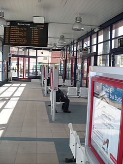
The bus station is situated in Ossett Town Centre next to Prospect Road (B6128) and Ossett Town's football ground.
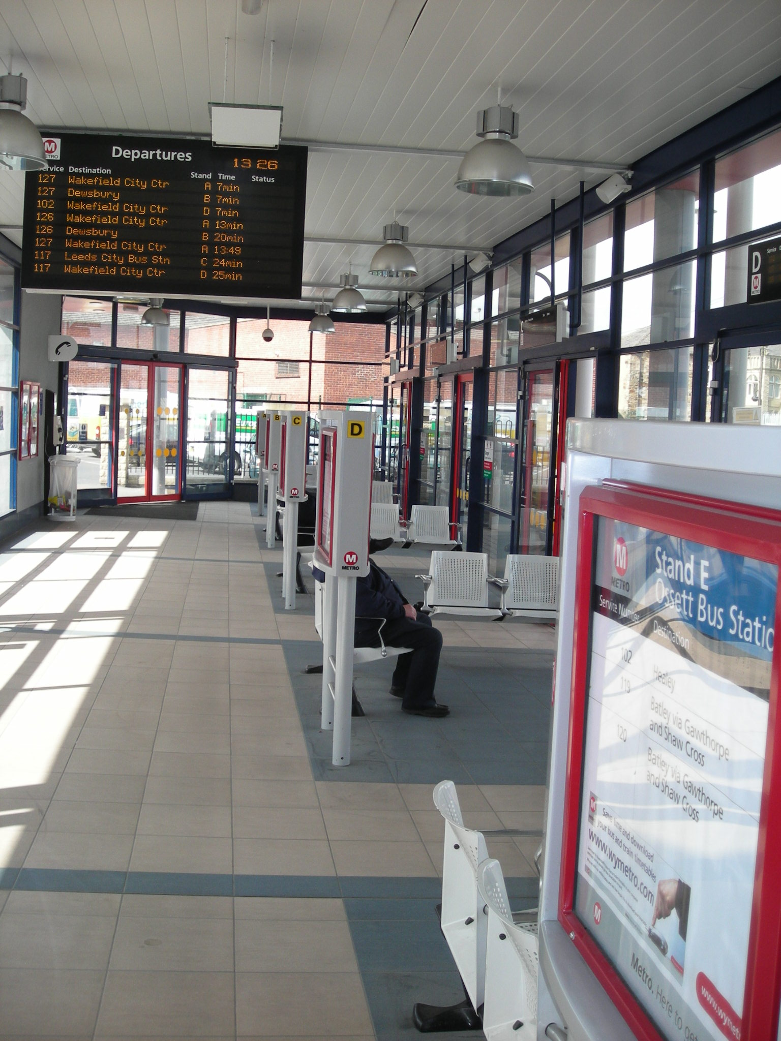
The bus station was rebuilt in 2005. There are six stands at the bus station with a real-time information board. The main operator at the bus station is Arriva Yorkshire.
Services
Buses run from the bus station around the town and regularly to Wakefield and Dewsbury and also to Leeds and Batley.
The bus station opens at 7 am and closes at 9 pm from Monday to Saturday.
The bus services that use Ossett Bus Station and their stand letter are shown below[1]: (Places in bold are where services terminate)
No. Operator Destination Stand 102 Arriva Yorkshire Portobello via Lupset and Wakefield D1 Healey E 117 Arriva Yorkshire Leeds City Bus Station via Shaw Cross and White Rose Centre C Wakefield D 119
120Arriva Yorkshire Batley via Gawthorpe E Wakefield via Horbury F 126
127Arriva Yorkshire Wakefield via Horbury and Lupset A Dewsbury B 217 Arriva Yorkshire Leeds City Bus Station via Shaw Cross C2 Overton via Horbury and Netherton D3 Notes:
1 Most journeys terminate at Wakefield 2 Weekday afternoons only 3 Weekday mornings only References
- ^ "Metro - Bus stations - Ossett Bus Station". Metro. http://www.wymetro.com/BusTravel/BusStationsAndStops/OssettBusStationStatistics. Retrieved 6 February 2011.
External links
Bus stations in West Yorkshire Major stations Bradford Interchange · Halifax · Huddersfield · Leeds · Wakefield
Other stations Batley · Brighouse · Castleford · Cleckheaton · Dewsbury · Hemsworth · Holmfirth · Ilkley · Keighley · Ossett · Otley · Pontefract · Pudsey · Seacroft · South Elmsall · Todmorden · Wetherby
Categories:- Bus stations in West Yorkshire
Wikimedia Foundation. 2010.