- Orta, Møre og Romsdal
-
For other uses, see Orta (disambiguation).
Orta 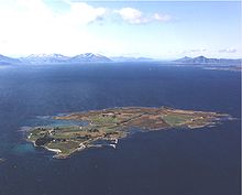
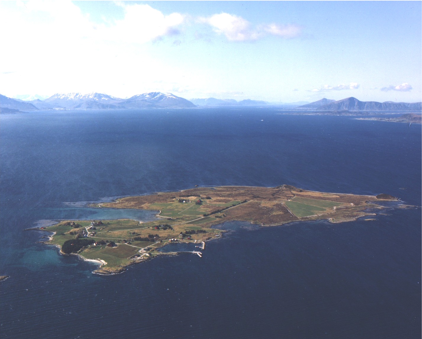
View of Orta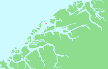
Location in Møre og RomsdalGeography Location Sunnmøre, Norway Coordinates 62°46′53″N 6°38′19″E / 62.7814°N 6.6387°ECoordinates: 62°46′53″N 6°38′19″E / 62.7814°N 6.6387°E Area 1 km2 (0.4 sq mi) Length 1.5 km (0.93 mi) Width 1 km (0.6 mi) Coastline 5.5 km (3.42 mi) Highest elevation 28 m (92 ft) Highest point Rambjøra Norway County Møre og Romsdal Municipality Sandøy Orta is an island in the municipality of Sandøy in Møre og Romsdal county, Norway. It lies mid-way between Harøya and Gossa islands in the Harøyfjorden. There are ferry connections from Orta to Sandøya and Finnøya (in Sandøy) and to Gossa in Aukra.[1]
References
- ^ "Orta" (in Norwegian). yr.no. http://www.yr.no/place/Norway/M%C3%B8re_og_Romsdal/Sand%C3%B8y/Orta~195031/. Retrieved 2010-10-22.
Categories:- Møre og Romsdal geography stubs
- Sandøy
- Islands of Møre og Romsdal

Wikimedia Foundation. 2010.