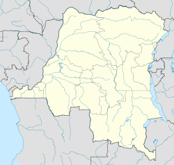
- Opala Territory
-
Opala Coordinates: 0°36′05″S 24°21′18″E / 0.601319°S 24.354887°ECoordinates: 0°36′05″S 24°21′18″E / 0.601319°S 24.354887°E Country Democratic Republic of Congo District Tshopo Opala is a territory in the Tshopo District of the Democratic Republic of the Congo.
The administrative center is the town of Opala. Other communities are Yatolema, Lokilo and Mayoko.[1] The territory is divided into Sectors and Chiefdoms:[2]
- Balinga-Lindja Sector
- Yawende-Loolo Sector
- Yeyango Chiefdom
- Yomale Chiefdom
- Yalingo Chiefdom
- Iye Sector
- Yapandu Chiefdom
- Mongo Chiefdom
- Kembe Chiefdom
- Opala Sector
References
- ^ "Carte des Districts et Territoires de l'ORIENTALE". Reliefweb. October 2002. http://reliefweb.int/sites/reliefweb.int/files/resources/12DF1000606655E6C1256F2D00484A0A-ocha_drcOrient031103.pdf. Retrieved 2011-10-08.
- ^ X. Blaes (October 2008). "Découpage administratif de la République Démocratique du Congo". PNUD-SIG. http://archive.wikiwix.com/cache/?url=http://www.rgc.cd/doctech/UNDP-GIS-25_RDC_administratif.pdf&title=D%C3%A9coupage%20administratif%20de%20la%20R%C3%A9publique%20d%C3%A9mocratique%20du%20Congo. Retrieved 2011-11-02.
Categories:- Democratic Republic of the Congo geography stubs
- Tshopo Province
- Territories in the Democratic Republic of the Congo
Wikimedia Foundation. 2010.

