Oostwold (Scheemda) — 53°12′9″N 7°2′40″E / 53.2025, 7.04444 … Wikipédia en Français
Oostwold — may refer to one of the following places in the province of Groningen in the Netherlands: Oostwold (Leek), a village in the municipality of Leek Oostwold (Scheemda), a village in the municipality of Scheemda Oostwold (Siddeburen), a former… … Wikipedia
Oostwold (Oldambt) — 53°12′9″N 7°2′40″E / 53.2025, 7.04444 … Wikipédia en Français
Scheemda — 53°10′0″N 6°58′0″E / 53.16667, 6.96667 … Wikipédia en Français
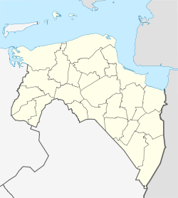
Scheemda — Infobox Settlement official name = Scheemda mapsize = 280px subdivision type = Country subdivision name = Netherlands subdivision type1 = Province subdivision name1 = Groningen area footnotes = (2006) area total km2 = 117.46 area land km2 =… … Wikipedia
Scheemda — Flagge Wappen Provinz Groningen Bürgermeister … Deutsch Wikipedia
Oostwold Airport — For the international airport near Groningen, see Groningen Airport Eelde. Oostwold Airport Vliegveld Oostwold IATA: none – ICAO: none … Wikipedia
Nieuw-Scheemda — 53°12′34″N 6°56′34″E / 53.20944, 6.94278 … Wikipédia en Français
Ekamp — 53° 10′ 30″ N 7° 03′ 58″ E / 53.175, 7.06611 … Wikipédia en Français
Midwolda — 53°11′34″N 7°0′58″E / 53.19278, 7.01611 … Wikipédia en Français
 Oostwold