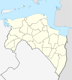
Oostwold (Leek) — 53°12′5″N 6°26′29″E / 53.20139, 6.44139 … Wikipédia en Français
Oostwold — may refer to one of the following places in the province of Groningen in the Netherlands: Oostwold (Leek), a village in the municipality of Leek Oostwold (Scheemda), a village in the municipality of Scheemda Oostwold (Siddeburen), a former… … Wikipedia
Leek — Héraldique … Wikipédia en Français
Leek (Niederlande) — Gemeinde Leek Flagge Wappen Provinz Groningen Bürgermeister … Deutsch Wikipedia
Leek, Netherlands — Infobox Settlement official name = Leek mapsize = 280px subdivision type = Country subdivision name = Netherlands subdivision type1 = Province subdivision name1 = Groningen area footnotes = (2006) area total km2 = 64.27 area land km2 = 63.57 area … Wikipedia
Oostwold — Cette page d’homonymie répertorie les différents sujets et articles partageant un même nom. Oostwold est le nom de plusieurs localités des Pays Bas : Oostwold, village dans la commune de Leek en Groningue Oostwold, village dans la commune d… … Wikipédia en Français
Diepswal (Leek) — 53° 09′ 02″ N 6° 22′ 22″ E / 53.1506, 6.37278 … Wikipédia en Français
Zevenhuizen (Leek) — 53°7′29″N 6°20′44″E / 53.12472, 6.34556 … Wikipédia en Français
List of places in the Netherlands — This is an alphabetical list of places (cities, towns, villages) in the Netherlands. Lists per province can be found at:* List of towns in Groningen * List of towns in Friesland * List of towns in Drente * List of towns in Overijssel * List of… … Wikipedia
Enumatil — 53°12′57″N 6°24′30″E / 53.21583, 6.40833 … Wikipédia en Français

