- Ōnoharajima
-
Ōnoharajima Native name: 大野原島 
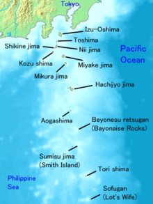
Geography Location Izu Islands Coordinates 34°02′41″N 139°23′15″E / 34.04472°N 139.3875°E Archipelago Izu Islands Area 0.2 km2 (0.08 sq mi) Highest elevation 114 m (374 ft) Country JapanDemographics Population 0 Ōnoharajima (大野原島) is a group of volcanic deserted islands located in the Philippine Sea approximately 180 kilometres (110 mi) south of Tokyo and 10 kilometres (6.2 mi) west of Miyakejima, in the northern portion of the Izu archipelago, Japan. The group is also known as Sanbondake (三本岳 lit. “Three Peaks” ) from its profile.
Geography
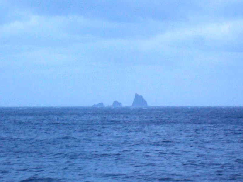
Ōnoharajima consists of nine main islets and several smaller rocks and stacks. The island is the remnant of an andesite lava dome with sheer sides, the only visible portion of a submarine volcanic caldera. The above sea-level portion has a surface area of approximately 0.2 square kilometers, with a summit height of 114 metres (374 ft) on the main islet of Koyasu-shima (小安島).
Located in the Kuroshio Current, the area has abundant sea life, and is popular with sports fishermen and scuba divers.
See also
External links
Categories:- Islands of Tokyo
- Uninhabited islands of Japan
- Extinct volcanoes
- Izu-Bonin volcanic arc
- Stacks (geology)

Wikimedia Foundation. 2010.