- Ondo East
-
Ondo East — LGA — Country  Nigeria
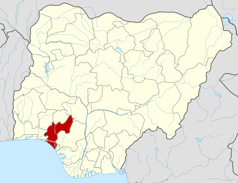
State Ondo State Time zone WAT (UTC+1) Ondo East is a Local Government Area in Ondo State, Nigeria. Its headquarters are in the town of Bolorunduro.
It has an area of 354 km² and a population of 74,758 at the 2006 census.
The postal code of the area is 351.[1]
References
- ^ "Post Offices- with map of LGA". NIPOST. http://www.nipost.gov.ng/PostCode.aspx. Retrieved 2009-10-20.
 Ondo State
State capital: Akure LGAs 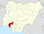 Categories:
- Local Government Areas in Ondo State
- Nigeria geography stubs
Wikimedia Foundation. 2010.