- Novo-Admiralteysky Bridge
-
Novo-Admiralteysky Bridge
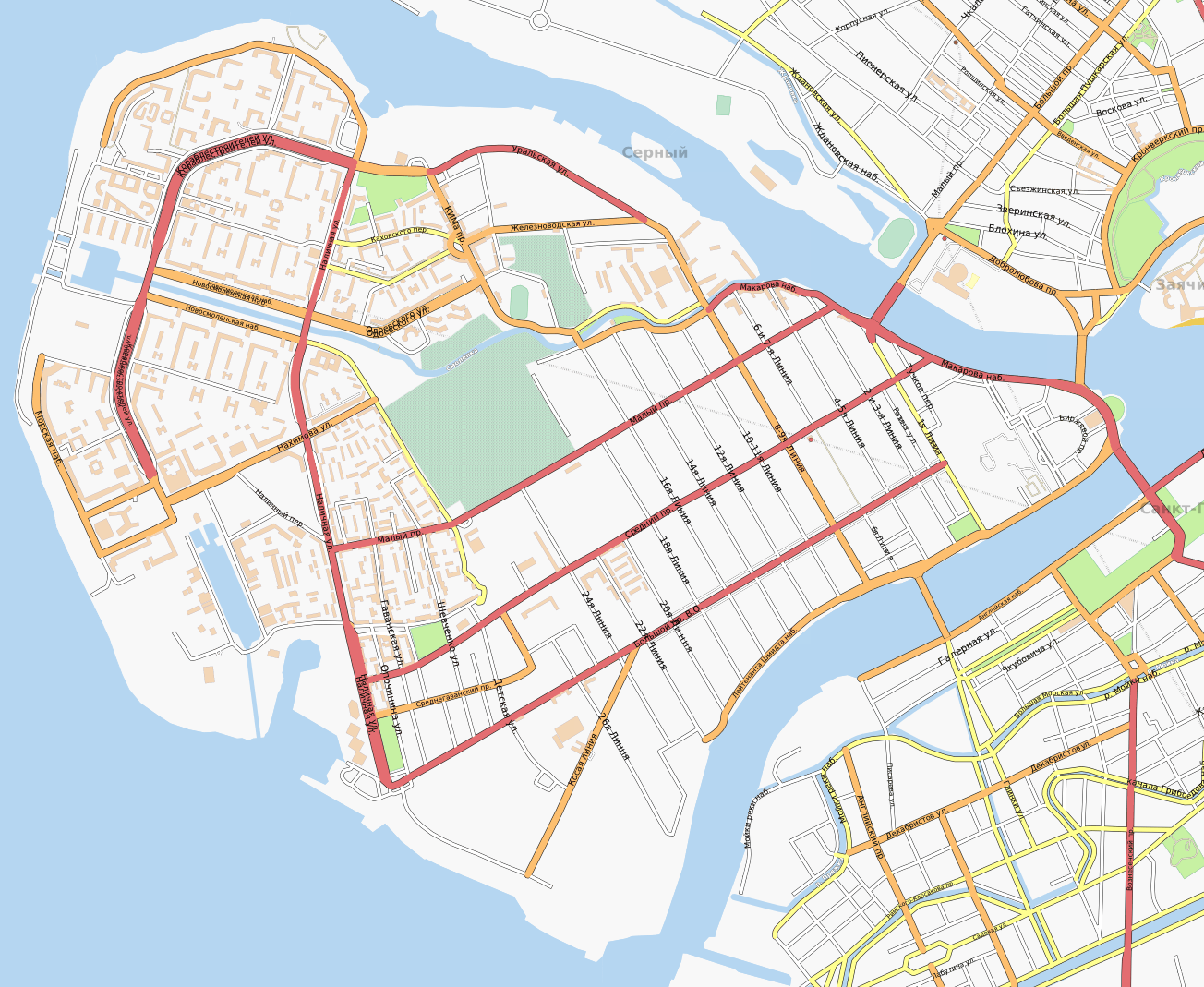
Russian: Ново-Адмиралтейский мостCarries Automobile, foot Crosses Bolshaya Neva Locale Saint Petersburg, Russia Designer "Stroyproyekt" Institute Design pending Number of spans pending Construction begin 2010[1] Construction end 2012 (planned)[1] Coordinates 59°55′24″N 30°12′23″E / 59.92333°N 30.20639°ECoordinates: 59°55′24″N 30°12′23″E / 59.92333°N 30.20639°E The Novo-Admiralteysky Bridge (Russian: Но́во-Адмиралте́йский мост) is the planned bridge over the Bolshaya Neva River in Saint Petersburg, Russia. The bridge left-hand side leans against the New-Admiralty island (Admiralteysky District). In this place the quay of the Moyka River will be prolonged. The right side of the bridge leans against Vasilyevsky Island (Vasileostrovsky District). It is quay of Lieutenant Schmidt between 16-17th lines and 18-19th lines of Vasilyevsky Island.[1]
Construction
- History of names
- Originally (in 2008) the bridge it was planned[2] to construct more low on a current and it was called "Bridge in an alignment of 22-23 lines of Vasilevsky island". Because of "a difficult hydrological picture" the bridge has been carry over.[3] Since summer of 2009 local government and mass-media use this name.
In a project, height of flights will make about 6 metres, width — nearby 36, length — about 600 metres. The prospective total cost of the project will make approximately 7,9 billion rubles. Till 2009-07-15 should be submitted for consideration and the statement to the governor.
References
- ^ a b c "Place for the New-Admiralty bridge have approved Russian: Место для Ново-Адмиралтейского моста одобрили " (in ru). Fontanka.ru. 2009-07-22. http://www.fontanka.ru/2009/07/22/135/. Retrieved 2009-07-23.
- ^ "By 2015 in a city will construct 34 new bridge and a tunnel, including six new crossings through Neva Russian: К 2015 году в городе построят 34 новых моста и тоннеля, в том числе шесть новых переправ через Неву" (in ru). www.dp.ru Referring to the vice-president of Committee on an accomplishment and a road economy of Petersburg of Sergey Kelbah. http://www.dp.ru/Default2.aspx?ArticleID=c4c26304-f3a9-428d-b9e6-480145e95380&ref=rss. Retrieved 2009-07-23.
- ^ "Place for the new bridge through Neva have carry over Russian: Место для нового моста через Неву перенесли" (in ru). 2009-06-29. http://karpovka.net/2009/06/29/6503/. Retrieved 2009-07-23.
Bridges of the Bolshaya Neva Upstream
Blagoveshchensky BridgeNovo-Admiralteysky Bridge Downstream
Baltic Shipyard rail ferryCategories:- Bridges in Saint Petersburg
Wikimedia Foundation. 2010.