- Viroinval
-
- Nismes redirects here. The French municipality of which the name sounds alike, is Nîmes.
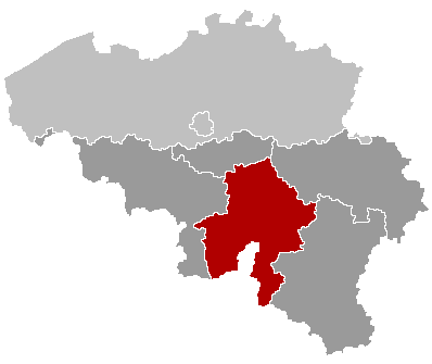
Viroinval 

FlagLocation in Belgium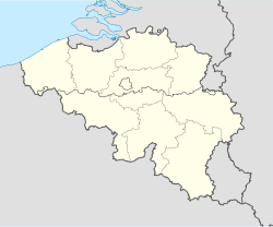
 Viroinval
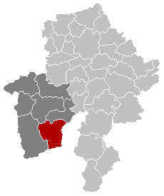
Coordinates: 50°05′N 04°33′E / 50.083°N 4.55°E Country Belgium Region Wallonia Community French Community Province Namur Arrondissement Philippeville Government – Mayor Freddy Cabaraux (PS) – Governing party/ies PS, CDH Area – Total 120.90 km2 (46.7 sq mi) Population (1 January 2010)[1] – Total 5,758 – Density 47.6/km2 (123.4/sq mi) Postal codes 5670 Area codes 060 Website www.viroinval.be Map of Viroinval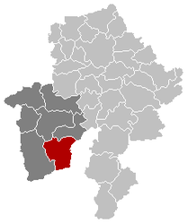
Viroinval (French pronunciation: [viʁwɛ̃val]) is a Walloon municipality located in Belgium in the province of Namur. On January 1, 2006 Viroinval had a total population of 5,680. The total area is 120.90 km² which gives a population density of 47 inhabitants per km².
Contents
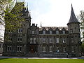
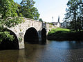
Villages in Viroinval
The name Viroinval, Viroin (River) Valley, was chosen for the municipality that was formed by fusing eight villages, in 1977: Dourbes, Mazée, Le Mesnil, Nismes, Oignies-en-Thiérache, Olloy-sur-Viroin, Treignes, Vierves-sur-Viroin.[2]
-

Dourbes
-
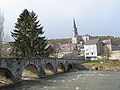
Nismes
-
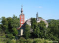
Olloy-sur-Viroin
-
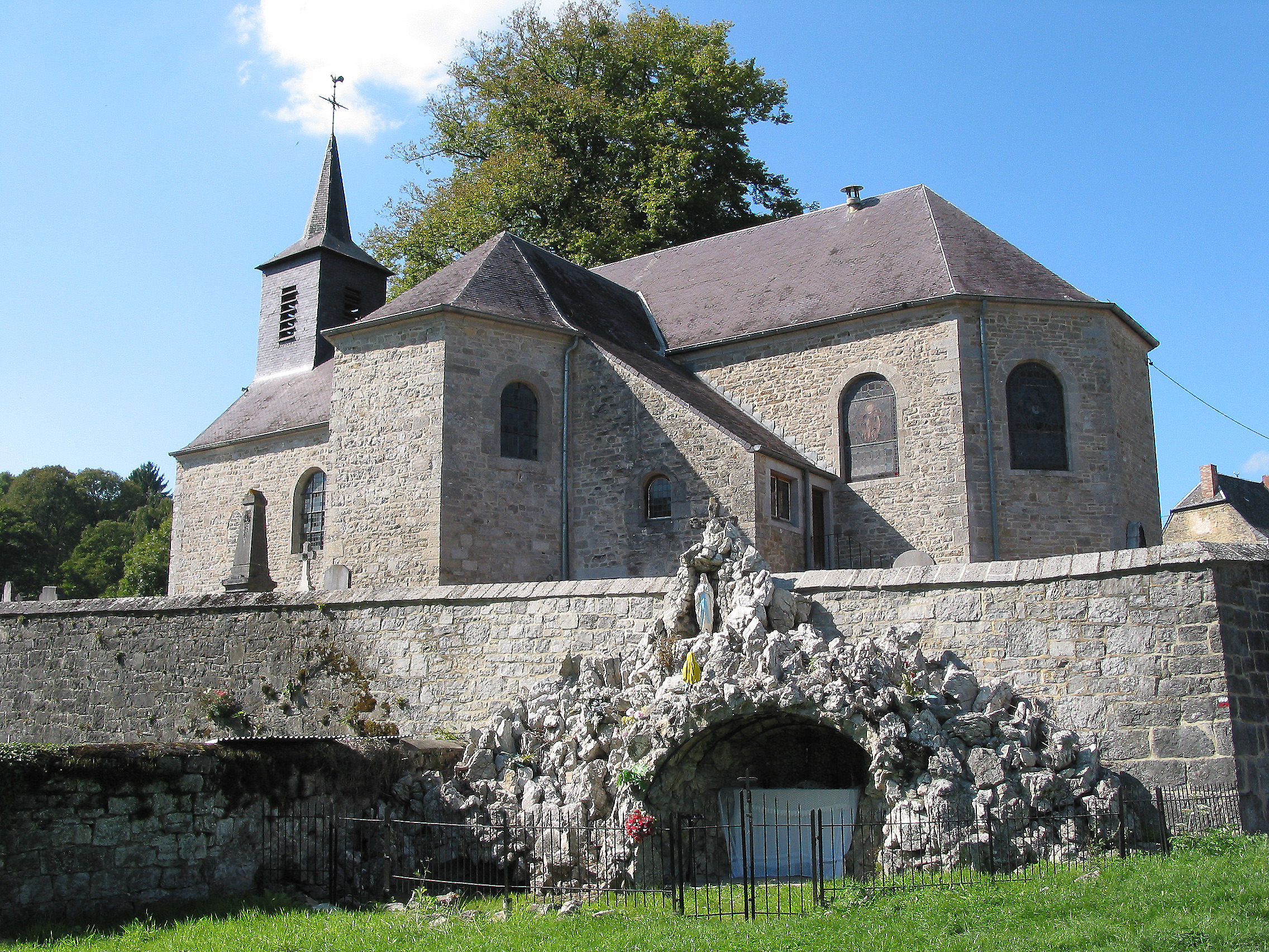
Treignes
-
Vierves-sur-Viroin
Curiosities
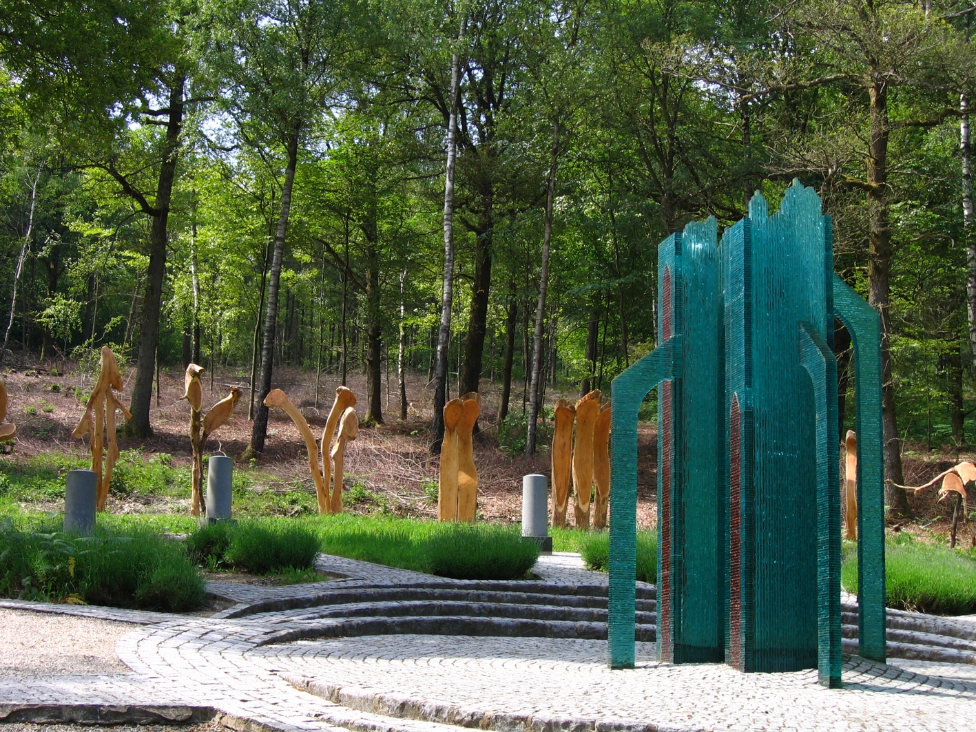
 Oignies-en-Thiérache, Monument for the geographical centre of the EU until its May 2004 expansion
- From 1995 to 2004, Viroinval was the location of the geographical centre of the European Union, at coordinates 50°00′33″N 4°39′59″E / 50.00917°N 4.66639°E in Oignies-en-Thiérache, and a monument there records that finding. On May 1, 2004 the EU expanded from fifteen states to twenty-five, and the geographical centre of the union moved eastwards to the village of Kleinmaischeid, Rhineland-Palatinate, Germany. On 1 January 2007 it shifted even further south-eastwards.
- The tourist steam train line Mariembourg - Treignes has most of its stations in villages of Viroinval: Nismes, Olloy-sur-Viroin, Vierves-sur-Viroin, and Treignes.[3] The latter village has a relevant museum.[4]
External links
- Official Website of the municipality
- The former Centre of the European Union
- Awarded "EDEN - European Destinations of Excellence" non traditional tourist destination 2009
References
- ^ Population per municipality on 1 January 2010 (XLS; 221 KB)
- ^ "Viroinval" (in French). Viroinval municipality. http://www.viroinval.be/xml/page-IDC-24342-IDD-33307-LANG-en-.html. Retrieved 2011-09-24.
- ^ "Trois Vallées – Chemin de fer touristique" (in French). Viroinval municipality. http://www.viroinval.be/xml/page-IDC-24342-IDD-33307-LANG-fr-.html. Retrieved 2011-09-24.
- ^ "Musée du Chemin de Fer à Vapeur des Trois Vallées" (in French). Viroinval municipality. http://www.viroinval.be/xml/page-IDC-24342-IDD-33308-LANG-fr-.html. Retrieved 2011-09-24.
Municipalities in the Province of Namur Dinant 
Namur Andenne · Assesse · Éghezée · Fernelmont · Floreffe · Fosses-la-Ville · Gembloux · Gesves · Jemeppe-sur-Sambre · La Bruyère · Mettet · Namur · Ohey · Profondeville · Sambreville · SombreffePhilippeville Categories:- Belgium geography stubs
- Municipalities of Namur


Wikimedia Foundation. 2010.