Nordbach

Nordbach

Template:Infobox Fluss/GKZ missingTemplate:Infobox Fluss/Progression missingTemplate:Infobox Fluss/Discharge missing

Nordbach
Mündung des Nordbaches in die Große Aue

Mündung des Nordbaches in die Große Aue

DataTemplate:Infobox Fluss/Map missing
Location North Rhine-Westphalia,  Germany
Length 1.7 km[1]dep1 Template:Infobox Fluss/NACHWEIS-LÄNGE missing
Source In Schwenningdorf
52°14′51″N 8°30′23″E / 52.2475°N 8.50639°E / 52.2475; 8.50639Coordinates: 52°14′51″N 8°30′23″E / 52.2475°N 8.50639°E / 52.2475; 8.50639
Source height 120 m above sea level [1]
Mouth In Schwenningdorf into the Große Aue
52°15′11″N 8°31′44″E / 52.25306°N 8.52889°E / 52.25306; 8.52889
Mouth height 91 m above sea level [1]
Descent 29 mdep1
Basin Weser
Catchment <10 km²[1]dep1 Template:Infobox Fluss/NACHWEIS-EINZUGSGEBIET missing
Villages Rödinghausen

The Nordbach is a 1.7 kilometre long, left tributary of the Große Aue in East Westphalian Rödinghausen in the district of Herford in the German state of North Rhine-Westphalia

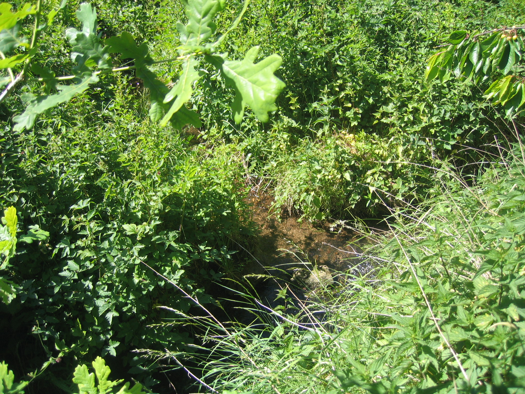
The Nordbach stream rises at a height of 120 m above sea level in Schwenningdorf. It discharges into the Große Aue, or Neuer Mühlenbach as it is known in its upper reaches, at a point 82.7 kilometres up the Aue from its mouth. Their confluence is at 91 m above NN and the stream descends a total of 29 metres.
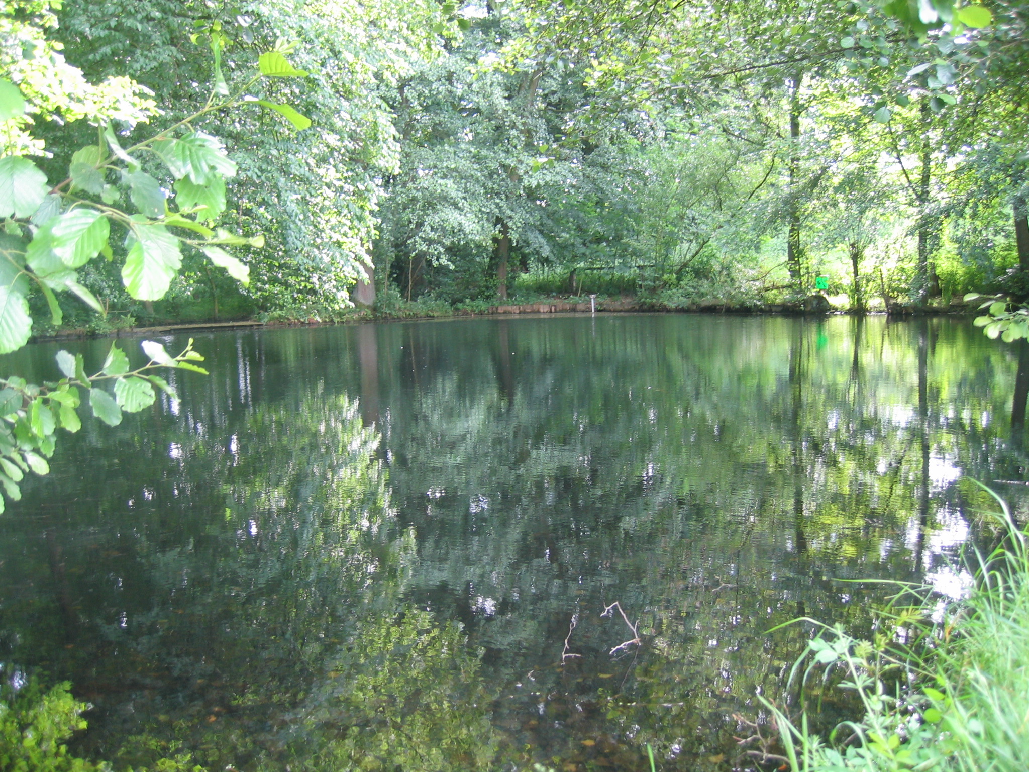
Swimming pool

Old open-air pool

The Nordbach fed the first natural open-air pool in the parish of Rödinghausen. Its basin is used as a fish pond today.


References

  1. ^ a b c d GeoServer NRW, Landesamt für Datenverarbeitung und Statistik NRW

Wikimedia Foundation. 2010.

Игры ⚽ Нужна курсовая?

Look at other dictionaries:

  • Nordbach — Mündung des Nordbaches in die Große AueVorlage:Infobox Fluss/KARTE fehlt Daten …   Deutsch Wikipedia

  • Нордбах — нем. Nordbach …   Википедия

  • Aubachtal — Vorlage:Infobox Fluss/DGWK fehltVorlage:Infobox Fluss/ABFLUSS altVorlage:Infobox Fluss/ABFLUSS fehltVorlage:Infobox Fluss/KARTE fehlt Große Aue …   Deutsch Wikipedia

  • Große Aue — (abschnittsweise auch Mühlenbach) Die noch junge Große Aue im Oberlauf bildet hier für ru …   Deutsch Wikipedia

  • Neuer Mühlenbach — Vorlage:Infobox Fluss/DGWK fehltVorlage:Infobox Fluss/ABFLUSS altVorlage:Infobox Fluss/ABFLUSS fehltVorlage:Infobox Fluss/KARTE fehlt Große Aue …   Deutsch Wikipedia

  • Список рек Германии —   Это служебный список статей, созданный для координации работ по развитию темы.   Данное предупреждение не ус …   Википедия

  • Fuhse — in CelleVorlage:Infobox Fluss/KARTE fehlt Daten …   Deutsch Wikipedia

  • Horne (Fluss) — Horne Gewässerkennzahl DE: 27874 Lage Nordrhein Westfalen, Deutschland Flusssystem Rhein …   Deutsch Wikipedia

  • Hornebach — Vorlage:Infobox Fluss/BILD fehltVorlage:Infobox Fluss/DGWK fehltVorlage:Infobox Fluss/ABFLUSS altVorlage:Infobox Fluss/ABFLUSS fehltVorlage:Infobox Fluss/KARTE fehlt Horne Lage Nordrhein Westfalen, Deutschland Länge 12,6 km …   Deutsch Wikipedia

  • Luhe (Ilmenau) — Luhe Flusslauf der Luhe in Oldendorf (Luhe)Vorlage:Infobox Fluss/KARTE fehlt …   Deutsch Wikipedia

Share the article and excerpts

Direct link
Do a right-click on the link above
and select “Copy Link”