- Nogliki
-
Coordinates: 51°49′N 143°7′E / 51.817°N 143.117°E
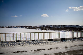 View of Nogliki from the bridge.
Nogliki (Russian: Ноглики) is an urban-type settlement and the administrative center of Nogliksky District of Sakhalin Oblast, Russia. Population: 10,854 (2006 est.);[citation needed] 10,729 (2002 Census);[1] 11,546 (1989 Census).[2]
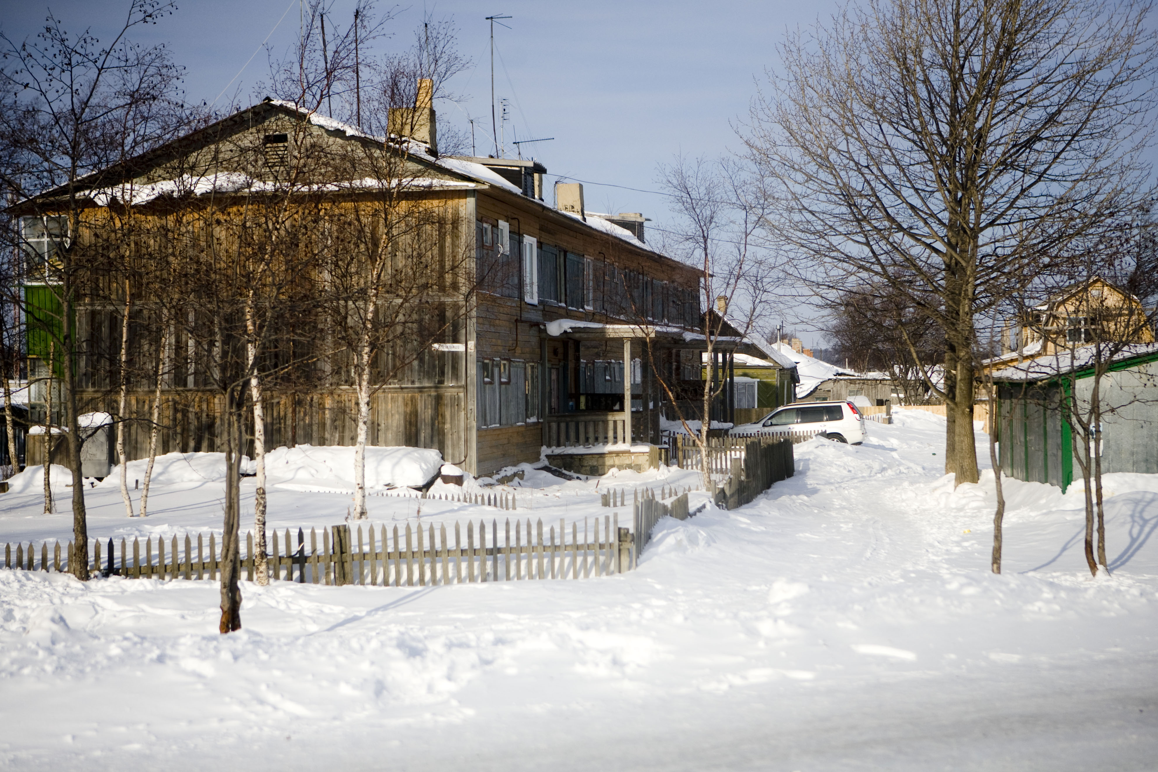
 Typical home in Nogliki.
Contents
Geography
The settlement lies near the eastern coast of the island of Sakhalin, about 6 kilometers (3.7 mi) inland from the Okhotsk Sea shoreline. It is located about 600 kilometers (400 mi) north of the oblast's administrative center of Yuzhno-Sakhalinsk. The climate is harsh subarctic, with long, very cold winters only marginally moderated by the ocean and very cool, short summers.
Climate data for Nogliki (1989-1994) Month Jan Feb Mar Apr May Jun Jul Aug Sep Oct Nov Dec Year Average high °C (°F) −14.4
(6.1)−12.2
(10.0)−4.4
(24.1)3.3
(37.9)10.0
(50.0)14.4
(57.9)16.7
(62.1)18.9
(66.0)15.0
(59.0)7.8
(46.0)−4.4
(24.1)−12.8
(9.0)3.2 Average low °C (°F) −22.8
(−9.0)−21.1
(−6.0)−15
(5.0)−5.6
(21.9)0.6
(33.1)5.0
(41.0)7.8
(46.0)10.0
(50.0)6.1
(43.0)−0.6
(30.9)−11.1
(12.0)−21.1
(−6.0)−5.7 Precipitation mm (inches) 37.6
(1.48)22.1
(0.87)26.9
(1.059)37.3
(1.469)67.8
(2.669)80.3
(3.161)65.8
(2.591)109.5
(4.311)72.6
(2.858)58.9
(2.319)44.7
(1.76)48.3
(1.902)671.8
(26.449)Source: Global Bioclimatics History
Nogliki was founded in the late 1940s with the beginnings of petroleum production in the area. It was accorded urban-type settlement status in 1960.
Economy and infrastructure
Nogliki is a supplier for the oil fields Sakhalin I and Sakhalin II, located in the Pacific Ocean off the coast to the north-east. There is also some logging activity in the area around the settlement. The settlement is also the northern terminus of the Sakhalin Rail Network, with the narrow-gauge line reaching the settlement in 1978. Another railway connecting Nogliki with the town of Okha further to the north was completed in 1953; however, this line closed in to passenger traffic in the 1980s, with only occasional goods traffic thereafter.[3]
An airport servicing the nearby oil and gas developments opened in September 2007.[4]
References
- ^ Федеральная служба государственной статистики (Federal State Statistics Service) (2004-05-21). "Численность населения России, субъектов Российской Федерации в составе федеральных округов, районов, городских поселений, сельских населённых пунктов – районных центров и сельских населённых пунктов с населением 3 тысячи и более человек (Population of Russia, its federal districts, federal subjects, districts, urban localities, rural localities—administrative centers, and rural localities with population of over 3,000)" (in Russian). Всероссийская перепись населения 2002 года (All-Russia Population Census of 2002). Federal State Statistics Service. http://www.perepis2002.ru/ct/doc/1_TOM_01_04.xls. Retrieved 2010-03-23.
- ^ "Всесоюзная перепись населения 1989 г. Численность наличного населения союзных и автономных республик, автономных областей и округов, краёв, областей, районов, городских поселений и сёл-райцентров. (All Union Population Census of 1989. Present population of union and autonomous republics, autonomous oblasts and okrugs, krais, oblasts, districts, urban settlements, and villages serving as district administrative centers.)" (in Russian). Всесоюзная перепись населения 1989 года (All-Union Population Census of 1989). Demoscope Weekly (website of the Institute of Demographics of the State University—Higher School of Economics. 1989. http://demoscope.ru/weekly/ssp/rus89_reg.php. Retrieved 2010-03-23.
- ^ Website about Okha-Nogliki railway, with photos (Russian)
- ^ Report in the Kommersant
External links
Categories:- Urban-type settlements in Sakhalin Oblast

Wikimedia Foundation. 2010.