- Nilahue River
-
Nilahue River (Río Nilahue) 
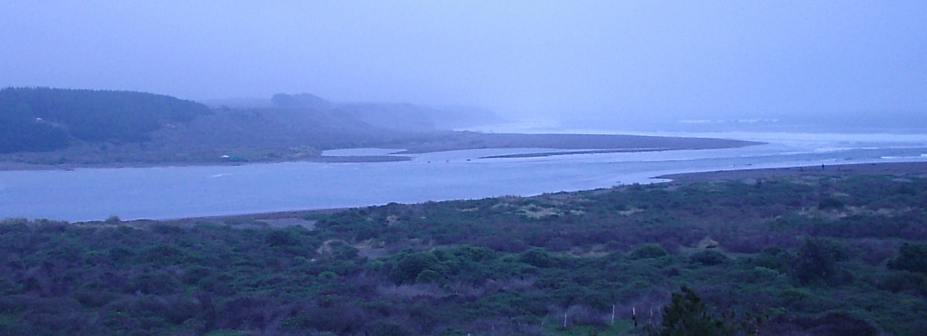
View of Nilahue River near its mouth in Ranco LakeOrigin Cordón Caulle Mouth Ranco Lake[1] Basin countries  Chile
ChileLength more than 40 km Mouth elevation 70 m Nilahue River is an Andean river in Lago Ranco commune in south-central Chile. Nilahue River originates in Cordón Caulle volcano and discharges into Ranco Lake, being its second largest tributary after Calcurrupe River. The catchment basin of the river receives water both from rainfall and from snow melt in the Cordón Caulle plateau. Los Baños hot springs are located on one of its upper tributaries. The rivers run a length of more than 40 km with the upper southern part running 20 km in north-south direction from Cordón Caulle to Carrán maar along the Liquiñe-Ofqui Fault. In the tectono-glacial valley that occupies the Liquiñe-Ofqui Fault Nilahue river runs along the western wall while a Contrafuerte River runs along the eastern wall before joining near Cerro La Overa. The northern lower portion runs from Carrán maar to Ranco Lake for another 20 km and features the Salto del Nilahue fall.
Ash from the 2011 Puyehue eruption contaminated this river and killed many fish[2]. The area around the Nilahue River was evacuated on the 10th of June 2011 when the river overflowed its banks after it was blocked by volcanic ash and mounting debris[3]. Temperatures in the river have risen from 6 degrees on the 4th of June to an average of 45 degrees centigrade on the 10th of June. With steam rising from the river and more than an estimated 4 million fish dead.[4]
 Nilahue River on the map
References
Hydrography of Los Ríos Region Rivers Bueno · Calcurrupe · Calle-Calle · Cau-Cau · Caunahue · Chaihuín · Colún · Cruces · Cuacua · Cutipay · Enco · Fui · Futa · Guanehue · Hueinahue · Huahum · Llanquihue · Lingue · Liquiñe · Llancahue · Naguilán · Neltume · Nilahue · Pillanleufú · Pilmaiquén · Pullinque · San Pedro · Tornagaleones · ValdiviaWaterfalls Huilo-Huilo · NilahueLakes Calafquén · Gris · Colún · Huishue · Maihue · Neltume · Panguipulli · Pellaifa · Pirihueico · Pullinque · Puyehue · Ranco · Riñihue · Seven LakesGlaciers Coordinates: 40°15′26.33″S 72°15′3.61″W / 40.2573139°S 72.2510028°W
Categories:- Rivers of Chile
- Geography of Los Ríos Region
- Los Ríos Region geography stubs

Wikimedia Foundation. 2010.