- Paterson, New South Wales
Infobox Australian Place | type = town
name = Paterson
state = nsw
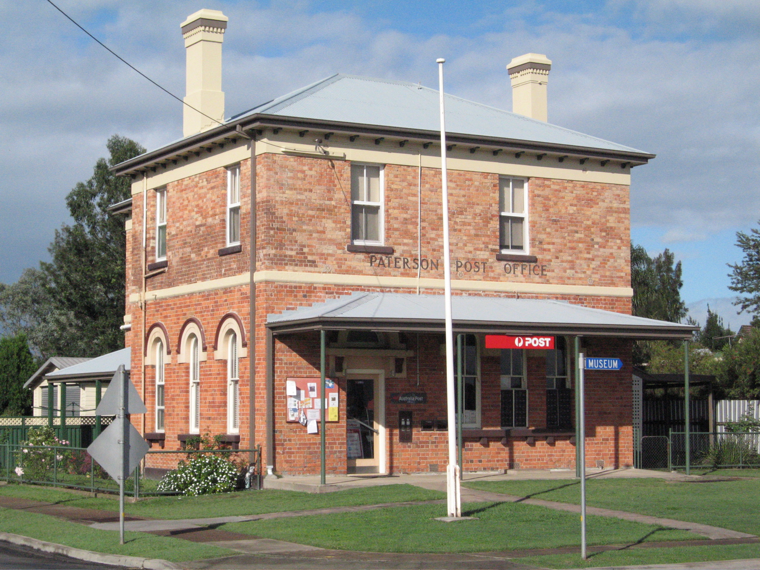
caption = Paterson Post Office on the corner of Duke and King Streets
pop = 341 (2001)Census 2001 AUS|id=UCL164200|name=Paterson (L) (Urban Centre/Locality)|accessdate=2007-06-30|quick=on]
lga = Dungog Shire
postcode = 2421
est = 1833
elevation= 30
maxtemp = 23.9
mintemp = 11.9
rainfall = 911.8
stategov = Upper Hunter [Cite web |url=http://www.elections.nsw.gov.au/state_government_elections/electoral_districts/all_districts_/upper_hunter |title=Upper Hunter |publisher=New South Wales Electoral Commission]
fedgov = Paterson
county = Durham
parish = Houghton
dist1 = 16
location1 = Maitland
dir1 = N
dist2 = 25
location2 = Dungog
dir2 = SSW
near-nw =
near-n = Vacy
near-ne =
near-w =
near-e =
near-sw =
near-s = Tocal
near-se = Duns CreekPaterson is a small township in the lower
Hunter Valley ofNew South Wales ,Australia . Located withinDungog Shire it is situated on thePaterson River and has a population of roughly 340 people.It is in the middle of what was once dairy and timber country and is now more significantly a feeder town for the nearby mining industry in the Upper Hunter and the city of Newcastle.
It is approximately 15 minutes drive north along either Tocal or Paterson Roads from the nearest major township of Maitland, and has a station on the main North Coast Railway Line between
Sydney andBrisbane . Adjoining areas include Duns Creek, Martins Creek and Vacy.History
The area was once occupied by the Gringgai clan of the Wanaruah Aboriginal people. The first known European in the area was the man whose name the town was to adopt, Colonel William Paterson, who, in 1801, surveyed the area beside the river that Governor King named in his honour.
As with so many colonial settlements timbercutters, after local supplies of red cedar, followed in the footsteps of the explorers and surveyors. Indeed the Paterson River was then known as the Cedar Arm due to the abundance of timber. By 1818 there were known to be eight farms along the river, six of them belonging to convicts.The first land grant in the area was made to Captain William Dunn in 1821 on land by the river to the south of the town. Although the townsite was the third to be surveyed in the Hunter Valley, after Newcastle and Maitland, it was not proclaimed until 1833. Paterson soon became an important
river port . As such it also became a service centre to the surrounding community. Considerable supplies oftobacco were grown, as well as grains,grape s,wine ,citrus fruit s andcotton .Shipbuilding also commenced with the development of the river trade.Many early settlers were Scots and hence a
Presbyterian Church preceded anAnglican establishment. Indeed St Ann's, built in the late 1830s, is said to be the oldest Presbyterian Church on mainland Australia.The river trade began to decline in the 1850s as the road to Maitland improved. Timber mills were established by the 1870s. In its heyday Paterson had four stores, five hotels, two shipyards, a sawmill, a tannery, four blacksmiths, two butchers, a bakery and a boarding school for girls.
By the time the railway arrived in 1911 the long-term decline of river transportation had taken its toll. With bizarre symbolism the railway line passed directly over the
wharf and a mishap during the construction of the railway bridge in 1909 sunk one of the local boats, the Anna Maria, which had been contracted to carry the BHP made girders. The boat was salvaged but was nearly destroyed again when a spark from asteam train set it ablaze. The last cream boats visited the area in the 1930s.Throughout the 20th century
agriculture has been the major source of local income. Citrus production was particularly strong at the turn of the century with an estimated 30,000 cases being handled at the port each year.Bushranger Captain Thunderbolt 's wife,Mary Ann Bugg (one of two known women bushrangers), was tried at the Paterson Court House during the 1860s.The poet
Dorothea Mackellar spent some time during her teenage years at a nearby property.Present day
There is an active historical society that maintains sites of historical importance in the area. The society has a museum collection in the Paterson Court House that is open once a week. The area is also serviced by Paterson Public School, and the local newsletter "The Paterson "Psst".
During March Paterson holds an annual festival at Tucker Park, with market stalls and local produce. The nearby
Tocal Agricultural College holds a small farms Field Days on the first weekend in May, showcasing the college and local agricultural interests.References
*
*
*
*External links
* [http://www.tocal.com/ Tocal Agricultural College web site]
* [http://www.tocalfielddays.com/index.html Tocal Field Days web site]
Wikimedia Foundation. 2010.