- Naungkut (24°32"N 95°33"E)
-
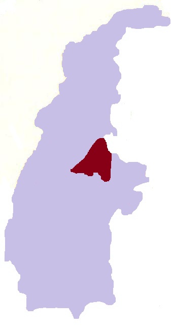
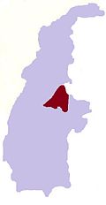
Naungkut — Village — Location in Burma
 Naungkut
Coordinates: 24°32′N 95°33′E / 24.533°N 95.55°ECoordinates: 24°32′N 95°33′E / 24.533°N 95.55°E Country  Burma
BurmaRegion Sagaing Region District Katha District Township Banmauk Township Time zone MST (UTC+6.30) Naungkut is a village in Banmauk Township, Katha District, in the Sagaing Region of northern-central Burma.[1][2]
References
- ^ Google. Google Maps (Map).
- ^ Microsoft and Harris Corporation Earthstar Geographics LLC. Bing Maps (Map).
External links
Capital: BanmaukSettlements Alegan • Anauktaw • Banmauk • Budaung • Chaungbya • Chaungzon • Dayu • Gaunggaik • Hawyaw • Hechein • Hmangin • Hmawbon • Htandaw • Hteinson • Htidawgaing • Hwemaukkan • Hwesokchi • Inbauk • Inbin • Kalat • Kandaw • Kangon • Kangon • Kangon • Kangon • Kangyi • Kanni • Kanthaya • Kazaukpa • Kezin • Khamo • Khaungton • Khopyin • Kyaiktonda • Kyainggyi • Kyakat • Kyauk-aing • Kyauktan • Kyaungle • Kyikazet • Kyundaw • Kyungon • Kywegawgyi • Legyin • Leiksaw • Lemi • Letpan • Letpangyin • Le-u • Le-u • Lwegyaung • Lwin-u • Magyigon • Magyigon • Magyigon • Magyigon • Mahaw • Mangon • Manhton • Mankat • Manna • Mansein • Mansi • Mantun • Manyu • Mingon • Mingon • Mode • Mutha • Mutthein • Mwe-te • Nakha • Namakauk • Namalut • Namdaw • Namhedaung • Namhkin • Namkasa • Nasinkut • Natmogaung-aleywa • Natonna • Naunghmi • Naungkan • Naungkut • Naungkut • Naunglon • Naungmalin • Naungmelon • Naungmo • Naungpat • Nyaungchedauk • Onhmin • Pakaw • Pamon • Pandaw • Pandin • Payindaung • Pegon • Pegon • Peinnebin • Peta • Pinbon • Pinkha • Pinlon • Pinmana • Pula • Sakhan • Segyi • Settaw • Se-u • Shwegyaung • Shwegyaung • Shwegyaung • Shwegyin • Shwehnit • Simaw • Sinchidaing • Sondaw • Takye • Tamaing • Tamakyaing • Taungchiyin • Taunggon • Taungle • Taunglwe • Taungyagon • Tenpadit • Thangyaw-in • Thaunggyi • Thaunggyi • Thayagon • Thayagon • Thayetkon • Thayetkon • Thayetkon • Thinganda • Tonbok • Tonbon • Tongyaung • Tonkaw • Tonmun • Tonpin • Yeshin • Ywathitkon


This Katha District location article is a stub. You can help Wikipedia by expanding it.