The National Byway

The National Byway
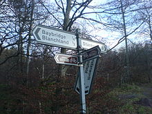
An example National Byway signpost

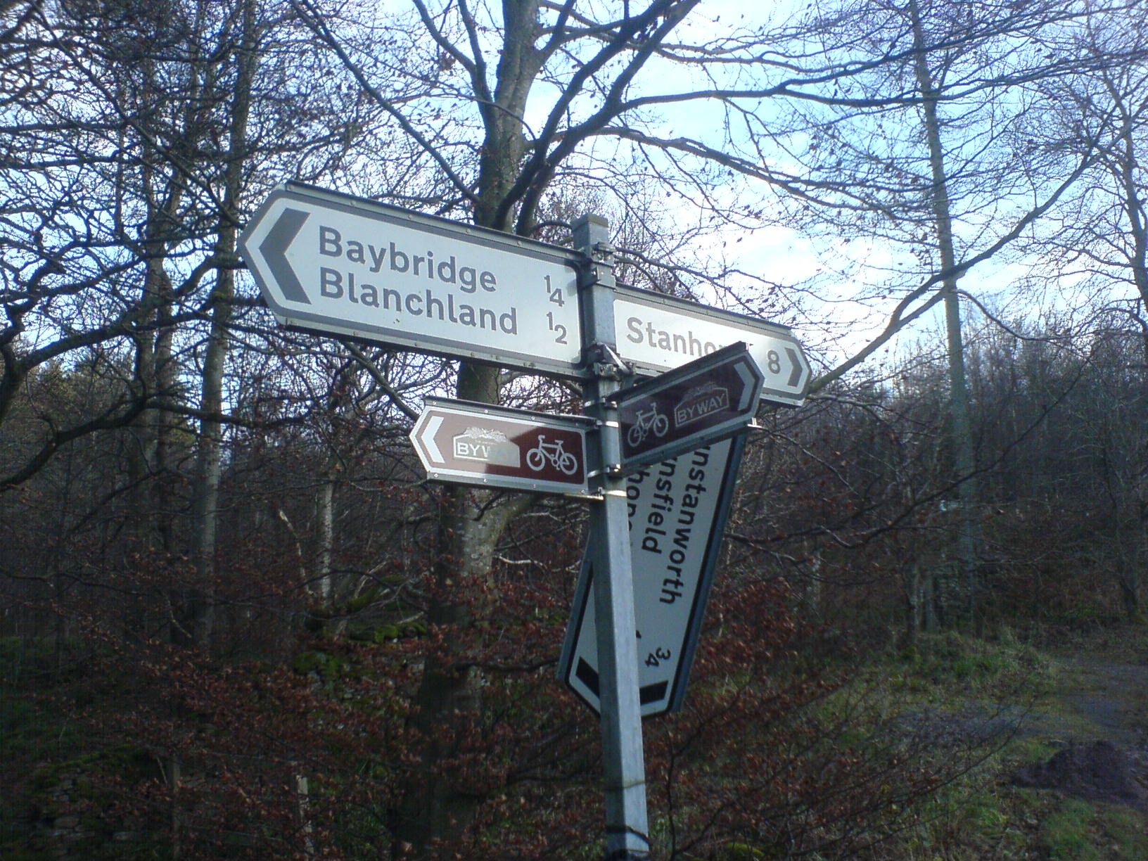
The National Byway is a 4,500-mile (7,240 km.) sign-posted cycling route round England and parts of Scotland and Wales.[1] It runs along quiet roads, rather than a mixture of roads and tracks like the National Cycle Network, making it more appropriate for road bikes. The route is managed by the registered charity "The National Byway", with Patron Viscount Linley and President Lord Foster of Thames Bank.[1] Maps are available from the National Byway web site and Sustrans.[2][3]


References

  1. ^ a b "Welcome To The National Byway". http://www.thenationalbyway.org/welcome.asp. 
  2. ^ "National Byway Maps". http://www.thenationalbyway.org/maps_sale.asp. 
  3. ^ "Sustrans Shop". http://www.sustransshop.org.uk/products/5317-the-national-byway-west-midlands. 

Wikimedia Foundation. 2010.

Игры ⚽ Нужно сделать НИР?

Look at other dictionaries:

  • National Cycle Network — The NCN on OpenStreetMap …   Wikipedia

  • National Agricultural Center and Hall of Fame — The Hall in 2009 The National Agricultural Center and Hall of Fame was issued a rare federal charter by the US Congress in 1960 to serve as the national museum of agriculture and a memorial to industry leaders. A site in Bonner Springs, Kansas… …   Wikipedia

  • National Trails (United Kingdom) — National Trails is an umbrella agency of the UK government which has a mandate to promote, maintain and develop the network of long distance footpaths in England and Wales. National Trails is funded by Natural England and the Countryside Council… …   Wikipedia

  • National Solar Observatory — The Dunn Solar Telescope on Sacramento Peak. The mission of the National Solar Observatory is to advance knowledge of the Sun, both as an astronomical object and as the dominant external influence on Earth, by providing forefront observational… …   Wikipedia

  • National Historic Route 66 Federation — The National Historic Route 66 Federation was founded in 1995 for the purpose of saving the businesses, communities and roadbed of Route 66. The famous road carried travelers across much of the country from the day it was commissioned on November …   Wikipedia

  • National parkway — is a designation for a protected area in the United States. The designation is given to a scenic roadway and a protected corridor of surrounding parkland. National Parkways often connect cultural or historic sites.[1] See also National Scenic… …   Wikipedia

  • National Scenic Byway — Marker used for National Scenic Byways …   Wikipedia

  • National Scenic Byway — Teil der Great River Road entlang des Mississippi in Wisconsin Als National Scenic Byways werden in den Vereinigten Staaten Straßen bezeichnet, die sich in ihrem Verlauf durch Sehenswürdigkeiten mit einer herausragenden archäologischen,… …   Deutsch Wikipedia

  • The Ozarks — Ozark redirects here. For other uses, see Ozark (disambiguation). Ozark Mountain redirects here. For the wine region, see Ozark Mountain AVA. The Ozarks, Ouachitas, Black Hills, and Sawtooths …   Wikipedia

  • National Register of Historic Places listings in Fayette County, Kentucky — Location of Fayette County in Kentucky This is a list of the National Register of Historic Places listings in Fayette County, Kentucky. This is intended to be a complete list of the properties and districts on the National Register of Historic… …   Wikipedia

Share the article and excerpts

Direct link
Do a right-click on the link above
and select “Copy Link”